Severe Thunderstorms Forecast for Western New York This Weekend, With Primary Risk Saturday Afternoon
Why It MattersWeekend severe-weather windows concentrated over specific counties push operators and airports toward short-notice schedule and ground-handling adjustments rather than broad regional disruption.
What happened
The National Weather Service in Buffalo placed parts of western New York under a severe thunderstorm risk this weekend, with the greatest threat centered over Lake Erie, Chautauqua County and surrounding areas. The primary window for severe weather on Saturday runs from 2 p.m. to 10 p.m., driven by a strengthening area of low pressure moving toward the eastern Great Lakes.
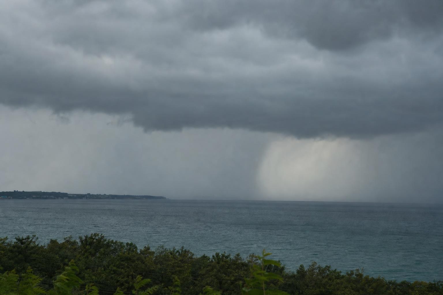
Damaging wind gusts are the main concern, with the potential to bring down trees and power lines. Isolated large hail is also possible, particularly across the western Southern Tier, and could damage vehicles and property. Some storms may produce locally heavy rainfall, leading to minor ponding in poorly drained areas.
A cold front is expected to sweep through the region Sunday morning and early afternoon, bringing additional showers and a few stronger thunderstorms. The Weather Service issued a Marginal Risk of severe thunderstorms for areas south and southeast of Lake Ontario, with the main window for stronger storms from 10 a.m. to 4 p.m. Sunday. Isolated damaging wind gusts and large hail remain possible, and the Weather Service said lake-effect rain could persist from Sunday afternoon through Tuesday, with the potential for waterspouts on the lakes.
How it unfolded
Lake-effect rain could persist, with potential for waterspouts on the lakes.
Marginal Risk window for stronger storms south and southeast of Lake Ontario; isolated damaging wind gusts and large hail remain possible.
A cold front sweeps through, bringing additional showers and a few stronger thunderstorms.
Primary severe thunderstorm window, greatest threat over Lake Erie, Chautauqua County and surrounding areas; damaging wind gusts and isolated large hail possible.
Industry impact & what to watch
This is a routine seasonal severe-weather advisory tied to a low-pressure system moving across the eastern Great Lakes, the kind of forecast that recurs through summer months in this corridor. The named risk factors, damaging wind gusts, isolated large hail and localized heavy rainfall, are the standard drivers of ground stops, gate holds and ramp closures at airports within the affected counties rather than a region-wide shutdown.
Business aviation activity in and around Lake Erie, Chautauqua County and areas south and southeast of Lake Ontario is the segment most exposed, since general aviation airfields have less infrastructure to buffer wind and hail events than larger commercial fields. The Saturday afternoon window and the Sunday morning cold-frontal passage are the two periods most likely to force schedule changes.
Whether disruption extends into Monday and Tuesday depends on how the lake-effect rain and waterspout potential the Weather Service flagged for the Lake Erie and Lake Ontario shorelines actually develops through that window.