Purdue Joins Indiana Drone Corridor Launch as State Opens FAA-Designated UAS Test Site
Why It MattersNew FAA-designated test sites and a repeatable BVLOS corridor widen the range of places where autonomous cargo aircraft can be proven, moving routine beyond-visual-line-of-sight operations closer to the national airspace system.
Purdue University researchers are using a strip of western Indiana airspace as a real-world laboratory to advance drone use in transportation, safety and agriculture. Purdue was among the lead partners in Indiana's bid to become one of the Federal Aviation Administration's newest unmanned aircraft systems (UAS) test sites. The FAA announced the Indiana Economic Development Corporation site, along with a second site in the Choctaw Nation of Oklahoma, in January; they are the first new UAS test sites in nearly a decade and will become the eighth and ninth in the U.S.
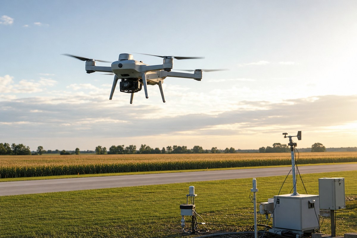
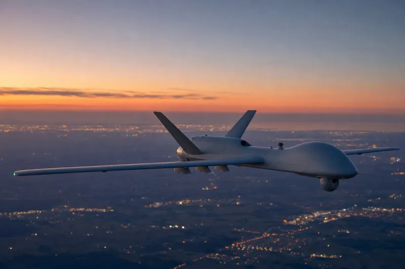
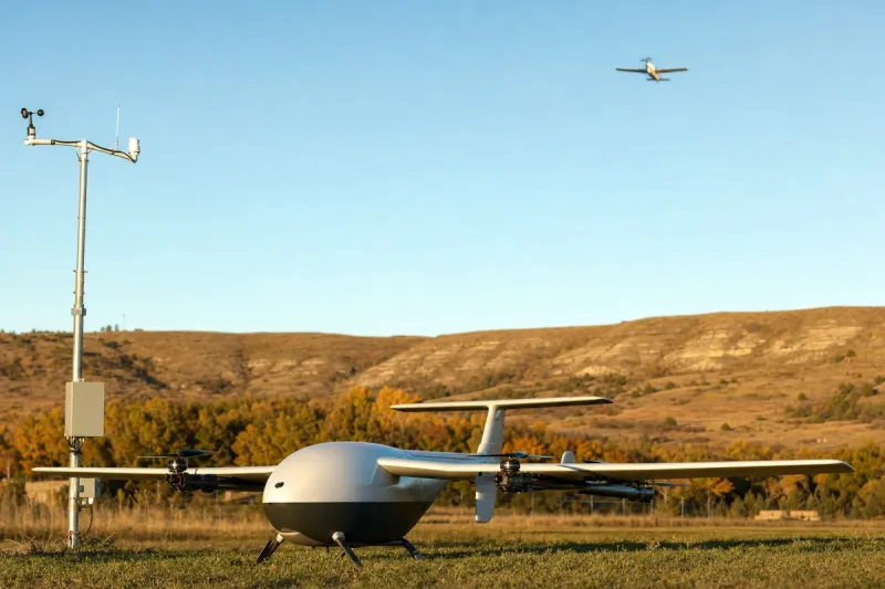
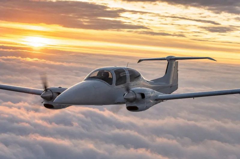
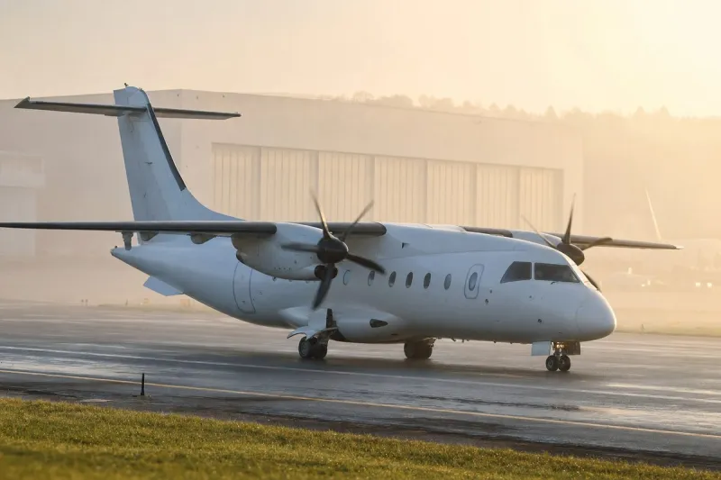
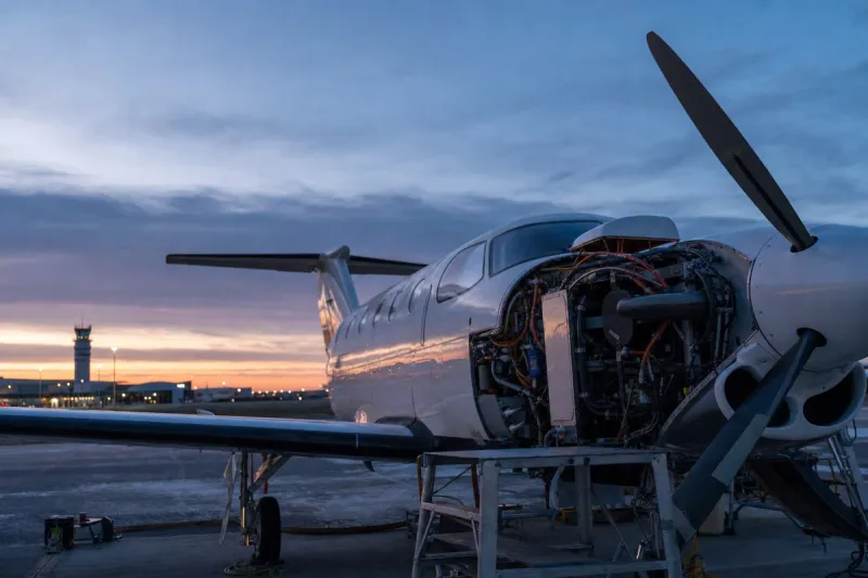
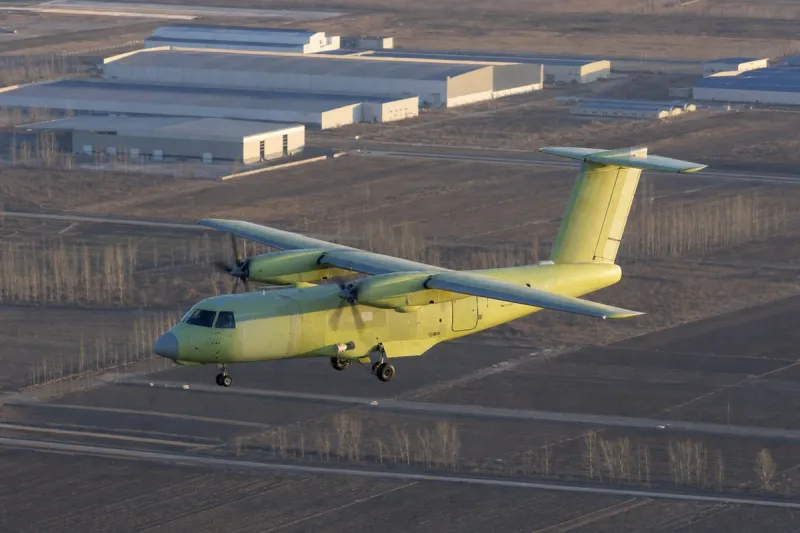
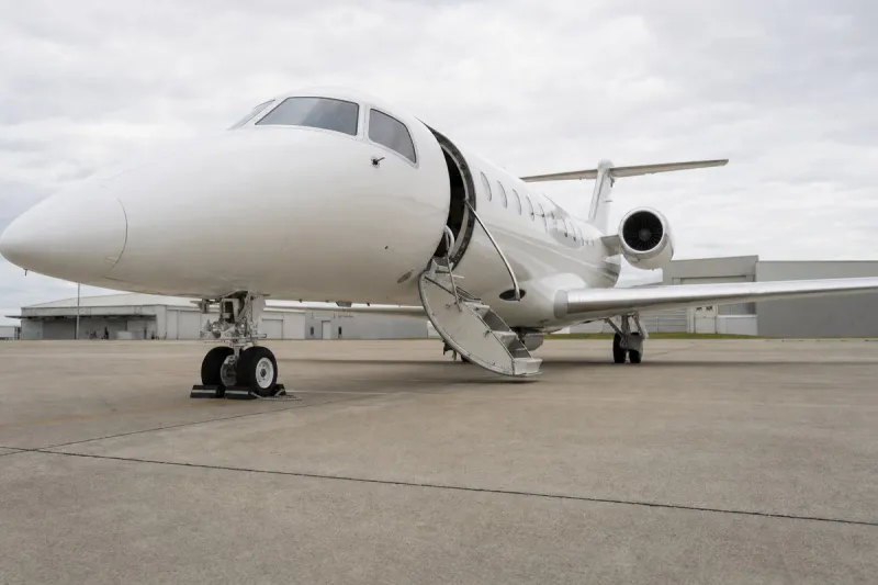
As part of the inaugural test of the Indiana Drone Corridor, Purdue's Windracers ULTRA, a dual-use heavy-lift autonomous aircraft, flew a beyond-visual-line-of-sight (BVLOS) flight and demonstrated an autonomous parachute resupply. Brian Dillman, head of Purdue's School of Aviation and Transportation Technology, piloted a chase plane that monitored the flight to ensure safe operation and separation from nonparticipating aircraft.
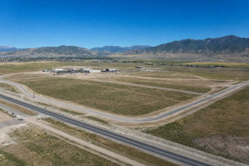
The corridor is intended as a repeatable, predictable airspace route for research, development, test and evaluation. It offers access to military-restricted, special-use and general-use airspace and was designed in concert with the FAA and the Federal Communications Commission to support safe, routine BVLOS flights in the National Airspace System. Purdue's partnership in the site and corridor is part of a broader collaboration with NSWC Crane on autonomy technologies. William Crossley, head of Aeronautics and Astronautics, said the partnership provides a test bed to accelerate UAS development and deployment while balancing privacy, security and safety. Purdue's Center on AI for Digital, Autonomous and Augmented Aviation and the Advanced Air Mobility Accelerator will use the corridor to develop and evaluate AI-enabled autonomous transportation.
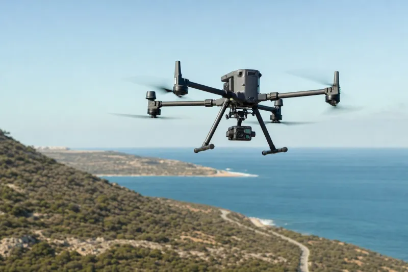
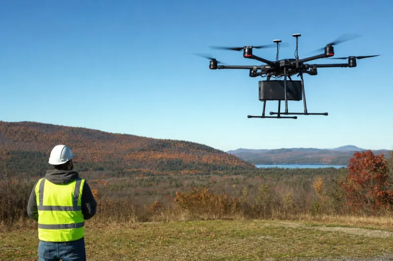
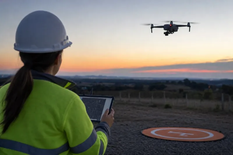
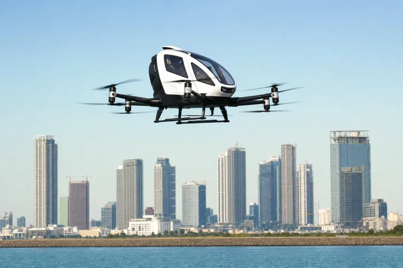
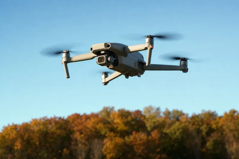
Testing has shown drones the size of single-engine aircraft can transport and drop food supplies in hard-to-reach areas, while smaller quadcopters have been used to deliver medicine faster in large urban areas. In agriculture, drones can track cattle and give grain farmers high-resolution maps to monitor erosion and plan drainage.