How Jet Routes Work and What They Mean for Private Charter Costs
Why It MattersThe FAA's ongoing shift from VOR-based J-routes to GPS-based Q-routes is gradually shortening en-route distances, trimming fuel burn and reshaping charter cost structures industry-wide.
Jet routes are published, fixed corridors through high-altitude airspace, typically between 18,000 feet MSL and Flight Level 450, that aircraft follow under Instrument Flight Rules. In North America these airways sit within Class A airspace and carry a "J" designation followed by a number, with Route J-75 along the U.S. East Coast among the busiest. Traditional jet routes track between ground-based VOR navigation stations rather than flying a straight line, so actual en-route distance often runs 5 to 10 per cent longer than the great-circle distance between two cities.

Starting in the 1990s and accelerating through the 2000s, the FAA began publishing RNAV routes that rely on GPS instead of ground stations, with high-altitude Q-routes allowing more direct point-to-point navigation and typically cutting distance and fuel burn compared with older J-routes. Q-routes are gradually replacing J-routes as VOR stations are decommissioned; in 2026 the FAA revoked Jet Route J-517 and established RNAV Route Q-151 in its place.
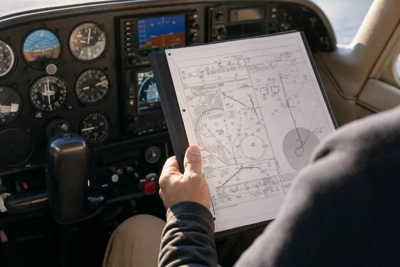
A private jet flight typically combines a Standard Instrument Departure, an en-route jet route or Q-route at cruising altitude, and a Standard Terminal Arrival Route into the destination. A New York to Miami charter, covering roughly 949 nautical miles, might depart Teterboro on a SID, follow J-75 or a parallel Q-route southbound, then fly a STAR into Miami Executive or Opa-Locka, while a Toronto to Vancouver trip covers about 1,806 nautical miles.
Pilots, dispatchers and air traffic control select jet routes, not travellers, but route choice directly affects flight time, fuel consumption and charter pricing; a New York to Miami charter and a Toronto to Vancouver flight on comparable aircraft can differ in cost by a factor of three, partly due to route length and fuel burn, and flight times on the same city pair can shift by 15 to 20 minutes depending on wind and routing. Travellers retain control over departure and arrival airport choice, departure timing, and aircraft category, and flying from a smaller executive airport, choosing off-peak hours, or selecting a lighter aircraft can reduce costs even when the underlying jet route stays unchanged.