US DIU and Honeywell flight-test quantum magnetic navigation system, achieving 89% accuracy gain over GPS-denied ocean route
Why It MattersThe demonstration signals that GPS-denial mitigation is shifting from inertial-sensor workarounds toward magnetic-field-based navigation that integrates with existing cockpit displays rather than requiring new hardware.
What happened
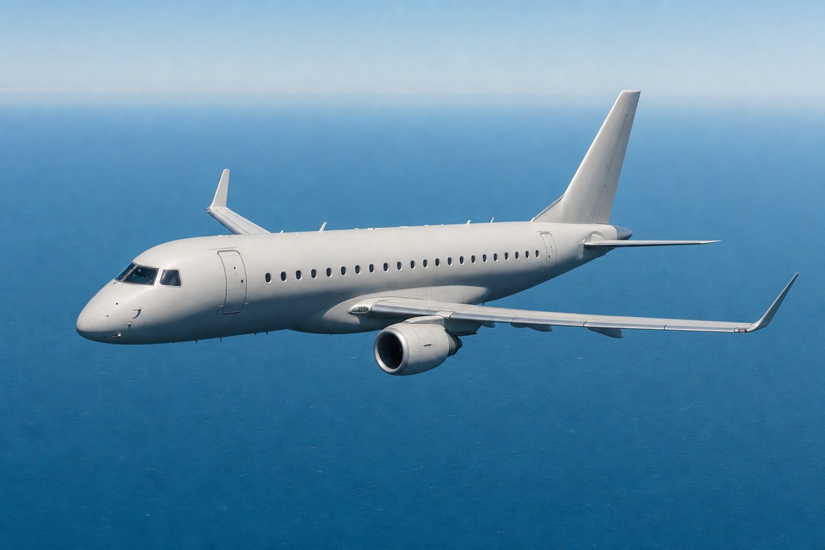
The US Defence Innovation Unit (DIU) has flight-tested a quantum sensor-based magnetic navigation system, called MagNav, that guided an aircraft without any GPS input and achieved an 89% improvement in position accuracy over legacy backup navigation methods. The test was conducted under DIU's MagNav programme in partnership with Honeywell Aerospace, using an Embraer 170 aircraft flying a four-hour, 23-minute mission over the Pacific Ocean between Seattle's Puget Sound and southern Alaska, relying entirely on the system's ability to read the Earth's natural magnetic field.
The MagNav programme originated from DIU's 'Transition of Quantum Sensing' initiative, launched in spring 2024. Seventy-two companies responded to the initial call for proposals, with Honeywell Aerospace selected to lead prototype development. The quantum sensors interpret the Earth's magnetic signatures, which DIU said cannot be jammed or spoofed and remain unaffected by weather, lighting conditions, or electronic interference, unlike satellite transmissions.
DIU noted that conventional backup navigation systems, including radar mapping and visual cues, struggle over open ocean due to the absence of geographic features, and that classical inertial sensors accumulate drift errors over time. Navigation results were displayed to pilots on standard tablets. Kyle Norman, deputy director of DIU's Kill Web portfolio, said: 'This is a significant win for the department's quantum sensing priorities, showcasing that MagNav capabilities are no longer a distant research goal. We moved from problem sourcing to solicitation to prototype in a matter of months.' Honeywell and DIU plan further tests later this year, including a flight on a US military C-17 Globemaster III cargo aircraft.
Industry impact & what to watch
This test belongs to a broader effort to find backup navigation that does not depend on satellite signals, which can be jammed, spoofed, or simply unavailable over open water. Inertial sensors have long served as the fallback, but they drift over time with no way to self-correct without an external reference; MagNav offers a continuous magnetic reference instead, similar in principle to how terrain-following radar works over land but usable where there are no geographic features to read.
The detail that results were shown on standard tablets matters for how fast a capability like this could move from prototype to fleet use: a system that needs no major cockpit modification faces a shorter integration path than one requiring new avionics hardware, which is typically the slower and costlier part of any navigation upgrade for both military and commercial operators.
The next test on a C-17 Globemaster III will show whether the accuracy gain holds on a larger, differently equipped airframe, and DIU's stated intent to serve both military and commercial aircraft points to where certification and adoption discussions would need to start next.