From GPS to Gravity and Atoms: Aviation Explores Navigation Without Satellites
Why It MattersThe shift signals a structural move toward layered, GNSS-independent navigation architectures as aviation regulators and militaries address growing satellite-signal jamming and spoofing risks.
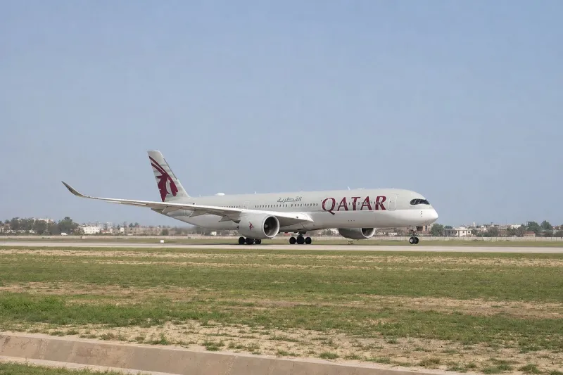
Aviation's growing reliance on Global Navigation Satellite Systems has prompted research into alternative navigation methods that do not depend on satellite signals, driven by the vulnerability of GNSS signals to jamming and spoofing. In 2026, EASA and EUROCONTROL introduced a European action plan addressing GNSS interference, and EASA updated its Safety Information Bulletin with new operational and training recommendations while maintaining a list of affected Flight Information Regions. Finnair has adapted pilot training and procedures to handle GPS interference routinely encountered around the Baltic region.

One concrete demonstration came in 2026, when the U.S. Defense Innovation Unit and Honeywell installed an experimental magnetic navigation system aboard an Embraer 170, which flew from the Puget Sound area toward southern Alaska and back, spending four hours and 23 minutes over the Pacific without GPS. The system measured variations in Earth's magnetic field against stored magnetic maps, and the Defense Innovation Unit reported the solution improved position accuracy by 89 percent compared with traditional backup methods.
Gravity mapping offers another GPS-independent approach, using a sensitive gravimeter to compare measured gravity against a stored map, since gravity cannot be jammed and works at night and in all weather. Quantum sensing is central to advancing gravitational and inertial navigation: in 2024, a British-led team involving Infleqtion, BAE Systems and QinetiQ flew quantum navigation technology, including an optical atomic clock and ultra-cold-atom system, aboard QinetiQ's modified Avro RJ100 demonstrator registered G-ETPL, with the British government stating an ambition to deploy quantum navigation systems aboard aircraft by 2030.
In 2026, a European Grand Challenge on quantum sensors for inertial navigation was launched targeting GNSS-denied and contested environments, alongside ESA's PASQUALE programme developing a hybrid architecture combining conventional navigation with cold-atom quantum accelerometers. DARPA's ROCkN programme has developed portable optical atomic clocks for precise timing without GPS, and in 2026 DARPA launched a follow-on effort to industrialise their manufacture. Experts suggest the likely outcome is a layered architecture combining magnetic navigation, terrain and imagery matching, quantum inertial sensors, precise clocks and residual GNSS capability.