Chart Wise: Wichita's ILS or LOC Runway 1L Approach Offers In-Runway Lighting and Marker Beacons
Why It MattersDetailed procedure briefings like this show how much IFR proficiency remains tied to ground-based navaids and analog techniques at major general aviation airports even as GPS use spreads.
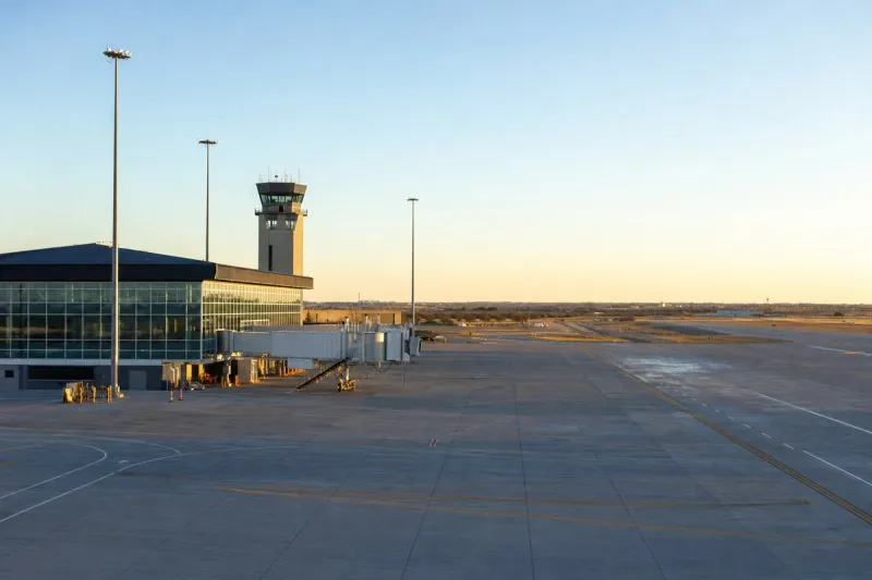
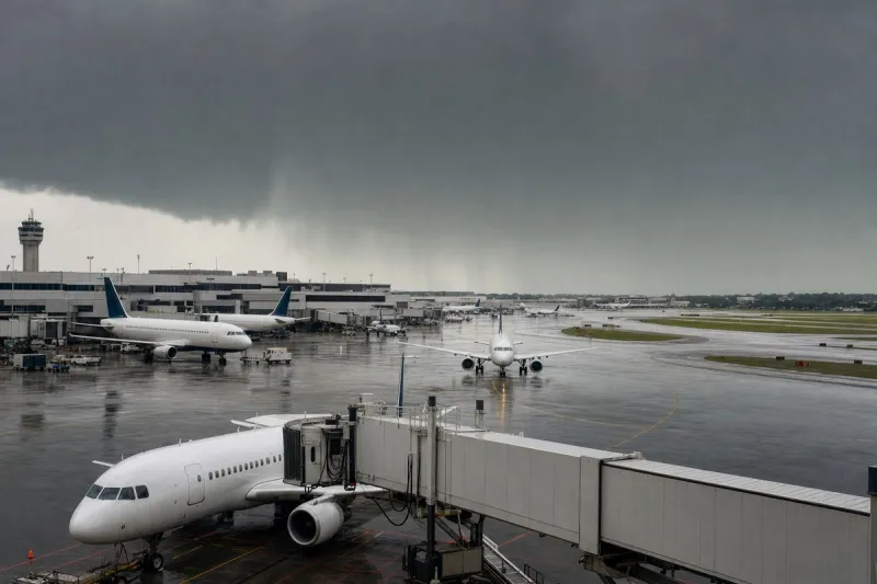
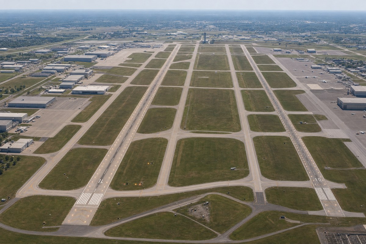
Wichita, Kansas, is home to Wichita airport (KICT), which has parallel runways. In poor weather, the ILS or LOC RWY 1L approach may be the best choice. Runway 1L/19R is slightly over 10,000 feet long and has in-runway lighting. High Intensity Runway Lighting (HIRL) is installed on all runways, and Runway 1L also has Touchdown Zone and Centerline lighting, which helps pilots find the runway in very low visibility.
A note on the chart indicates that simultaneous approaches may take place to the well-spaced parallel runways. Pilots should stay on their localizer course and, if they approach full-scale deflection, go missed and contact ATC immediately.
The IAF and FAF are the same point. A feeder route from the ICT (Wichita) VOR along the 149-degree radial leads to the CHITO outer marker, where pilots must perform a course reversal or enter the hold unless Wichita Approach is vectoring them onto the approach. No DME is available to identify CHITO, so pilots without an IFR GPS must use analog methods such as a cross radial and interception of the glide slope on the localizer. The approach has an outer marker at CHITO, which marks the FAF, and an inner marker at the missed approach point. Pilots should watch for the blue and white marker lights and monitor the marker beacon audio.
On the missed approach, pilots climb to 3,000 feet msl before turning toward the ICT VOR, continue to 3,600 feet msl, and hold north of the VOR on the 180-degree inbound track. A standard one-minute hold with left turns is depicted. If weather is too low to land, pilots may choose to hold to gain time to arrange an alternative rather than attempt the approach again.