Tropical Storm Moke Threatens Hawaii with Flash Flooding as Route 11 Remains Closed After Lala
Why It MattersGround-transport disruption tied to storm sequences can keep road-dependent visitor routing constrained even after airports and flight schedules return to normal.
What happened
Tropical Storm Moke is forecast to pass south of the Hawaiian Islands this weekend, bringing the risk of heavy rainfall and flash flooding, particularly to Hawaiʻi Island. The National Weather Service has issued a Flood Watch for Hawaiʻi Island from late Saturday night, August 22, through Monday afternoon, August 24. Because the ground remains saturated from Tropical Storm Lala, less rainfall than usual may be sufficient to trigger flash flooding, and flood-prone roads and low-lying areas may become impassable while streams rise quickly.

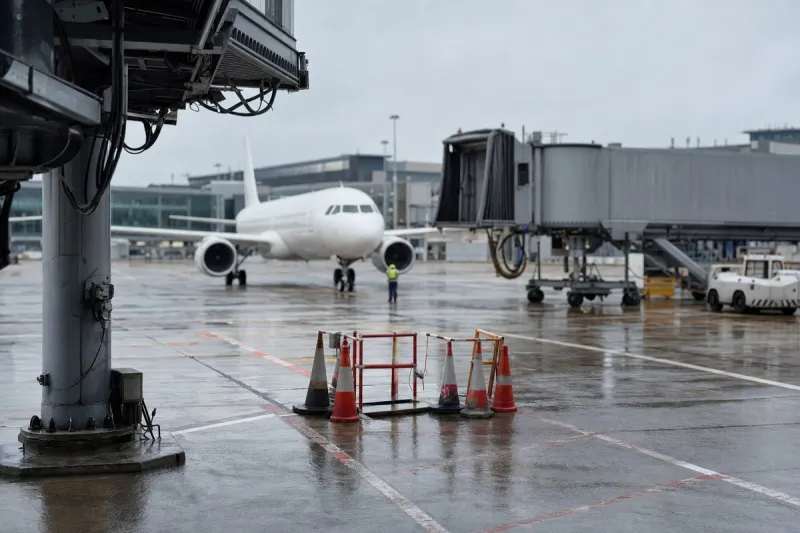
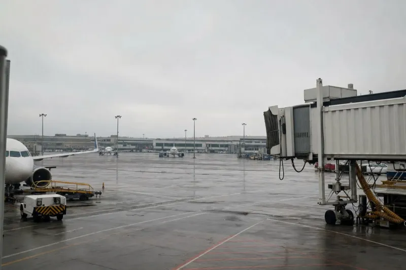
Maui may experience elevated wind and surf from Saturday into Sunday, while Oʻahu and Kauaʻi are expected to see lesser impacts — mainly wind and rain — arriving later, Sunday into Monday. Airports statewide remain open and flights are operating as scheduled. Elevated surf and rough ocean conditions are possible, especially along east-facing shores, and the Hawaiʻi Department of Health advises staying out of ocean and stream waters that appear brown or murky.
On Hawaiʻi Island, recovery continues following Tropical Storm Lala. The Hawaiʻi Department of Transportation has closed Māmalahoa Highway (Route 11) to through traffic between South Point Road and Kamani Street in Pāhala, in the Kaʻū district. Visitors are advised not to travel to the Kaʻū district at this time due to road closures and active repair and cleanup efforts. Travelers between Kona and Hilo should use Daniel K. Inouye Highway (Route 200) or Route 19 through Waimea and Hāmākua instead of Route 11, and not all areas of Hawaiʻi Volcanoes National Park have reopened.
How it unfolded
Flood Watch for Hawaiʻi Island ends.
Oʻahu and Kauaʻi expected to see lesser wind and rain impacts.
Maui may see elevated wind and surf.
Flood Watch for Hawaiʻi Island begins.
Industry impact & what to watch
This case sits in the recurring pattern of a second weather system arriving on top of unhealed ground damage from a prior one, where the marginal rainfall needed to cause flooding drops sharply because soils and streams have no capacity left to absorb it. Airports and scheduled flights are explicitly unaffected here, which keeps the disruption confined to surface transport and ground logistics on Hawaiʻi Island rather than the air side.
In practice this means visitor and ground-transport routing has to route around a fixed closure — Route 11 between South Point Road and Kamani Street — using Route 200 or Route 19, while parts of Hawaiʻi Volcanoes National Park stay closed. Ground handlers, ferry and shuttle operators, and any party moving passengers or cargo between Kona and Hilo by road are the ones absorbing the detour, not the air carriers.
The two dated markers worth tracking are the Flood Watch's own end point, Monday afternoon, August 24, and whatever update the Hawaiʻi Department of Transportation issues on the Route 11 closure and Kaʻū district access once repair and cleanup work progresses.