Ho Chi Minh City Draft Plan Divides Low-Altitude Airspace Into Four Vertical Zones Up to 3,000 Meters
Why It MattersThe plan sequences infrastructure and zoning ahead of aircraft, licensing rules and traffic-management systems, testing whether low-altitude economies can be built by anticipating demand rather than responding to it.
What happened
Ho Chi Minh City has released a draft master plan running to 2050, with a hundred-year outlook, that divides low-altitude airspace below 3,000 meters into four altitude bands, each assigned a specific use. The plan was circulated for public feedback in late August.
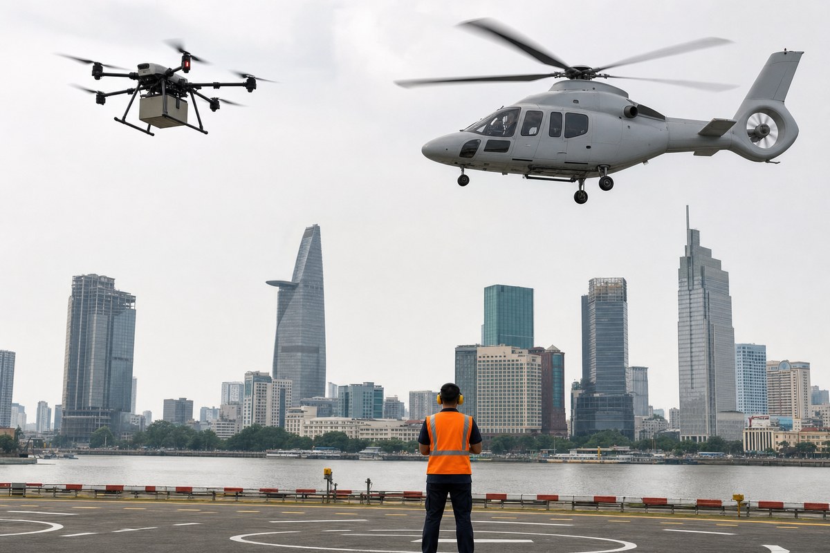
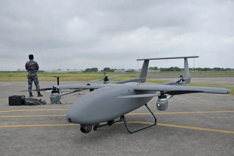
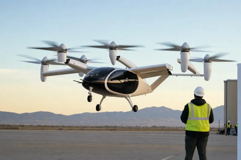
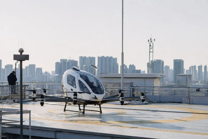
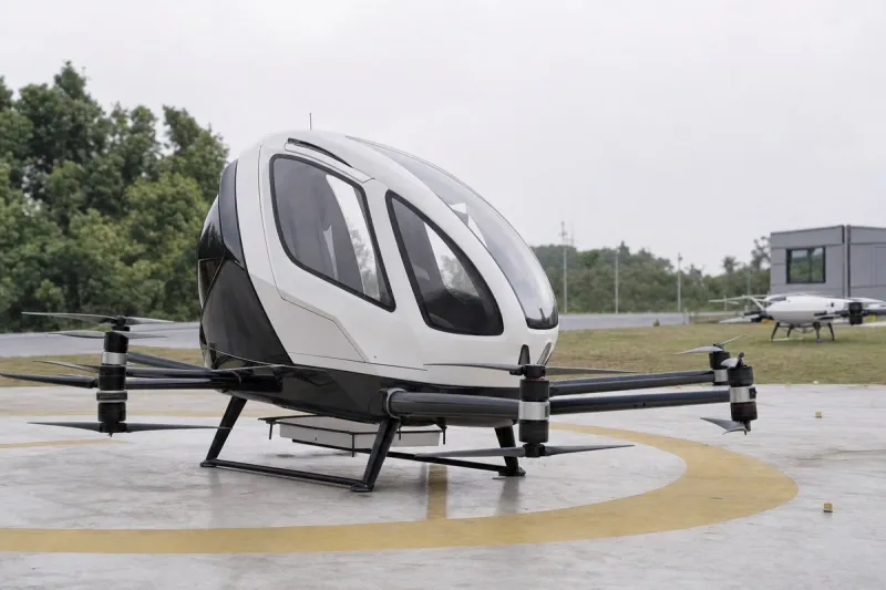
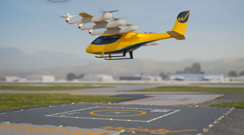
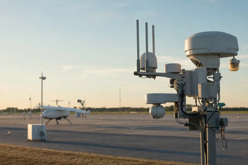
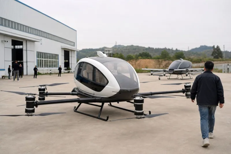
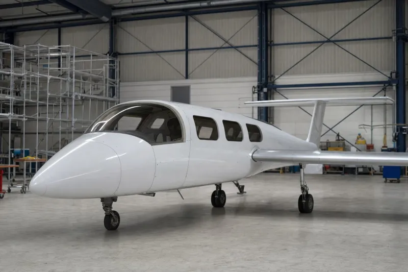
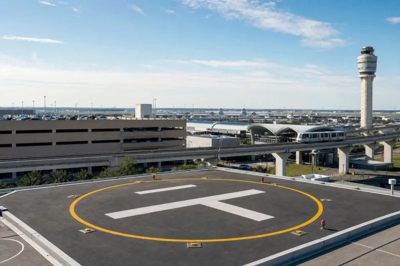
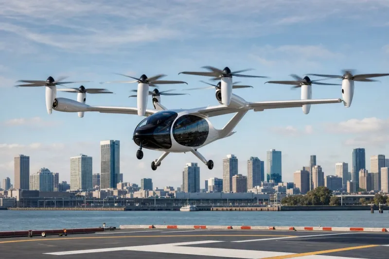
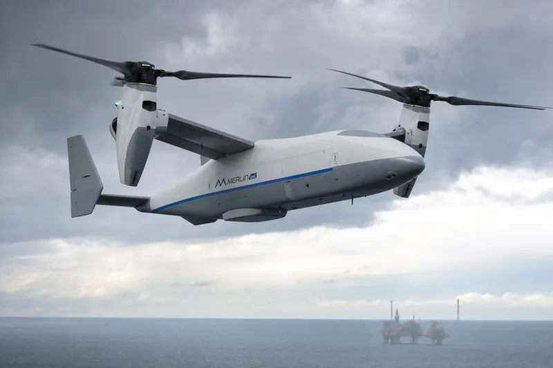
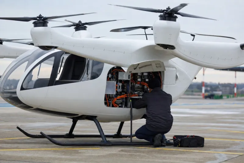
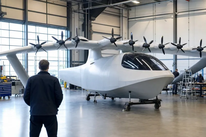
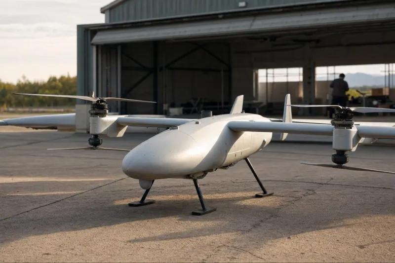
The lowest band, from the surface to 150 meters, is designated for small drones, surveillance craft, and last-mile delivery over industrial parks, logistics yards, and tourist districts. The 150-to-300-meter band is reserved for heavier cargo drones operating along fixed commercial routes connecting suburbs to factories, seaports, and warehouses. The 300-to-1,000-meter band is set aside for passenger transport, including electric vertical takeoff and landing aircraft, flying taxis, personal aircraft, and shared shuttles linking the airport to downtown and port areas. The plan calls for drone ports, vertiports, landing pads, charging depots, maintenance hangars, and passenger transfer hubs at airports, seaports, logistics parks, high-tech zones, and new residential centers, alongside an uncrewed traffic management system supported by data centers, artificial intelligence for real-time flight routing, high-speed telecommunications, and precision satellite navigation. Under the phasing schedule, the city plans to finalize regulations, open sandboxes, and formalize zoning from 2026 to 2027, then scale commercial operations.
The August master plan builds on Plan No. 200, issued by the city's People's Committee in May, which identified the airspace below 1,000 meters as an untapped resource and set initial targets for vertical zoning, traffic platforms, landing pads, charging stations, and testing sandboxes. No passenger air taxi has yet operated in Ho Chi Minh City. The only drone route currently in service is a mail delivery corridor launched on February 12 between a post office in Can Gio and one in Vung Tau, an over-water flight operated under a special government mechanism and described by Lam Dinh Thang, head of the city's Department of Science and Technology, as a breakthrough.
Vietnam's amended Aviation Law, which took effect July 1, defines low-altitude air transport for the first time but leaves operational licensing, airspace access, traffic management, and risk-based rules to implementing regulations not yet issued. Dr. Le Net of LNT and Partners stated in February that obtaining a flight permit remained difficult and that Vietnam lacked clear standards for aircraft registration, insurance, and pilot certification. Luong Viet Quoc, chief executive of Ho Chi Minh City drone manufacturer Real-time Robotics, said at a city forum that importing a WiFi 6 transmission module remains restricted in Vietnam, pushing research offshore and raising costs, and noted the absence of a licensed corridor for testing long-range aircraft. Huynh Quyen, president of the Ho Chi Minh City University of Natural Resources and Environment, warned that focusing on aircraft while neglecting underlying data infrastructure risks building on an unstable foundation. A national security exercise conducted in the low airspace on August 18 underscored competing claims on the same sky. Vietnam has projected low-altitude economic activity of approximately $10 billion by 2035.
Industry impact & what to watch
This plan places Ho Chi Minh City among a small group of cities worldwide attempting to zone airspace by altitude before the vehicle categories meant to fill it are certified or in commercial service. Assigning bands to eVTOL taxis, cargo drones, and last-mile delivery ahead of licensing rules reverses the usual sequence, in which regulation and traffic-management capability typically precede infrastructure commitments.
Low-altitude economies generally depend on three things arriving together: airworthy vehicles, a traffic-management layer that can separate uncrewed and crewed flights in real time, and licensing regimes covering registration, insurance, and pilot or remote-operator certification. Ho Chi Minh City's plan commits to physical infrastructure and zoning on a fixed 2026-2027 timeline while the underlying Aviation Law amendment still lacks implementing regulations, and while a manufacturer executive has already flagged import restrictions on basic components and the absence of a testing corridor for long-range aircraft.
The near-term signals worth tracking are the implementing regulations for the July 1 Aviation Law amendment, since licensing, airspace access, and risk-based rules will determine which of the four bands can actually be used commercially and by whom. Whether the city's uncrewed traffic management system, and the data infrastructure Huynh Quyen flagged as a prerequisite, are funded and built on the same 2026-2027 schedule as the zoning itself will show whether the plan's sequencing holds or whether aircraft and rules continue to lag the map.