Rocky Mountain Metropolitan Airport to Raise Traffic Pattern Altitude by 200 Feet Starting September 2026
Why It MattersThe change shows how legacy airspace restrictions tied to long-closed facilities can persist for decades until an airport formally petitions the FAA to align pattern altitudes with current guidance.
What happened
Rocky Mountain Metropolitan Airport (RMMA) increased its Traffic Pattern Altitude (TPA) by 200 feet, moving from 6,500 feet MSL (approximately 800 feet AGL) to 6,700 feet MSL (approximately 1,000 feet AGL), effective September 3, 2026.
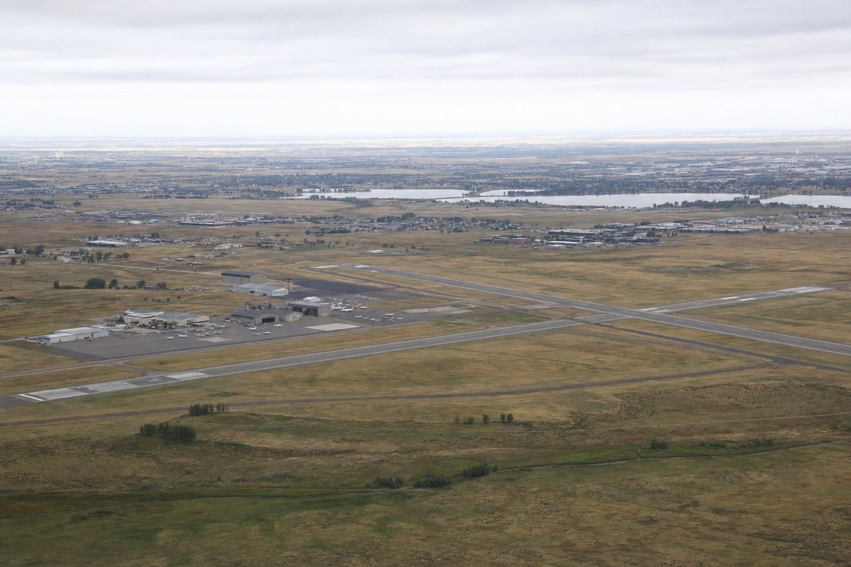
The airport submitted its request to the FAA on January 23, 2025, and it was subsequently reviewed and approved by the Rocky Mountain Metropolitan Airport Advisory Board and the Jefferson County Board of Commissioners. According to the airport's request, the additional 200 feet could provide pilots approximately 6.9 extra seconds of decision-making time and 0.3 nautical miles of additional glide distance in an emergency.
The existing 800-foot AGL pattern altitude had been established due to RMMA's proximity to approach paths associated with the former Stapleton Airport. Following Stapleton's closure and the opening of Denver International Airport at a different location, RMMA determined the legacy restriction was no longer necessary. The FAA is expected to reflect the new TPA in its digital Chart Supplement along with a notation in airport remarks, and RMMA's Voluntary Noise Abatement Plan will also be updated to reflect the change.
Industry impact & what to watch
This case illustrates how traffic pattern altitudes are often set around specific, time-bound circumstances — in this instance, proximity to a since-closed airport's approach paths — and can remain in place long after the original justification disappears. Standardizing a TPA closer to typical FAA guidance is a routine but locally significant adjustment, since pattern altitude affects both pilot decision-making margins and the noise footprint experienced by nearby residents.
The approval path here, running through an airport advisory board and a county board of commissioners before FAA reflection in published charts, shows that even a modest airspace change involves multiple layers of local governance alongside federal sign-off. Community members near the airport may notice aircraft operating at a higher altitude during portions of the pattern once the change takes effect.
The next concrete marker is the FAA's update to its digital Chart Supplement and the revised Voluntary Noise Abatement Plan, both of which will formalize the 6,700-foot MSL altitude for pilots and document the associated noise abatement adjustments.