Niger Coup and Multi-State Restrictions Form 4,000-km Sahel No-Fly Zone, Forcing Airlines onto Atlantic and Red Sea Bypasses
Why It MattersWhen several national airspace closures line up geographically, transit carriers lose the option of a single reroute and must absorb compounding fuel and congestion costs across two alternate corridors instead of one.
What happened
A military coup in Niamey led Niger's military authorities to suspend constitutional institutions, close international air borders, and shut the Niamey Flight Information Region (DRRR FIR) to commercial traffic. Overflight access was later partially restored for most civil operators, but Nigerien authorities issued targeted prohibitions barring aircraft registered in France or chartered by French entities — including Air France — from entering Nigerien airspace, and Diori Hamani International Airport (NIM) shifted from a regional transit hub to the focal point of the standoff.

The Agency for Aerial Navigation Safety in Africa and Madagascar (ASECNA), operating under International Civil Aviation Organization (ICAO) Annex 11 provisions, activated contingency air traffic management plans, with Area Control Centres in Dakar (GOOO) and N'Djamena (FTTJ) assuming procedural control over transiting traffic. Neighbouring ACCs in Accra, Algiers, Bamako, Kano, Nouakchott, and Ouagadougou absorbed significantly higher traffic volumes. In Mali, active NOTAMs restrict transiting civil aircraft to an altitude band between FL320 and FL400 north of the Bamako Terminal Control Area. In Sudan, the Khartoum FIR (HSSS) remains completely closed due to ongoing military conflict, and in Libya the Tripoli FIR (HLLL) carries a Level 1 Do Not Fly advisory with an EASA CZIB warning against all civil overflights.
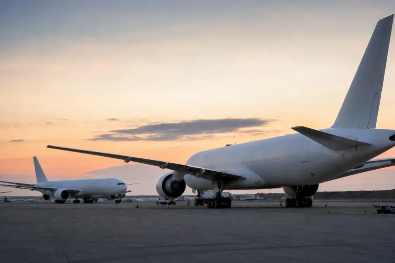
Together these closures combine with the Niger restrictions to form a contiguous no-fly barrier spanning nearly 4,000 kilometres across the Sahel, from the Atlantic coast to the Red Sea, splitting trans-African airspace into two operational halves and eliminating direct overland routes through the continental interior. Airlines now choose between a western Atlantic bypass — south past the Iberian Peninsula, over Morocco's Casablanca FIR and Mauritania, into Senegal's Dakar FIR (GOOO), then along the West African coast toward Johannesburg (JNB) or Cape Town (CPT) — or an eastern Red Sea corridor across the Mediterranean into Egyptian airspace (Cairo FIR), south along the Red Sea past Saudi Arabia, through Ethiopian and Kenyan airspace (Nairobi FIR), onward to Southern Africa. Widebody aircraft such as the Boeing 777-300ER and Airbus A350-900/1000 consume between 5,500 kg and 6,500 kg of Jet-A fuel per cruise hour, and a 90-minute detour requires an additional 8,000 kg to 10,000 kg of fuel per sector, with detour fuel burn on Western Europe–South Africa routes reaching up to 12,000 kg per flight leg.
Two bypass corridors, two sets of constraints
The western Atlantic bypass requires compliance with High Level Airspace (HLA) specifications and Automatic Dependent Surveillance-Contract (ADS-C) reporting standards, and it has caused severe congestion within Dakar ACC as traffic that once transited the Sahel interior is funnelled along the coast. The eastern Red Sea corridor is increasingly constrained by Middle Eastern conflict zones and EASA advisories restricting transit of Iranian and Lebanese airspace, concentrating traffic into narrow Egyptian airspace funnels rather than spreading it across the wider region.
Industry impact & what to watch
This case shows how several independent national airspace decisions — a coup, an ongoing civil conflict, and a standing safety advisory — can align geographically into a single structural barrier that no individual carrier decision caused and no individual government controls. Trans-African and Europe–Southern Africa routings depend on a narrow set of interior corridors staying open; when Niger, Mali, Sudan and Libya are simultaneously constrained, there is no third overland option left, only the two coastal bypasses already described.
That concentration is itself a risk: both the Dakar ACC corridor and the Egyptian airspace funnel now carry traffic volumes and route complexity they were not sized for, which raises the odds of secondary congestion or delay even on routes that are not themselves overflying a closed FIR. The France-specific restriction in Niger adds a second layer on top of the geographic one, since it applies to operators and registrations rather than to the airspace as a whole, meaning two airlines flying the same corridor can face different legal access.
What happens next depends on whether ASECNA's contingency plans hold up as traffic volumes grow through the Dakar and N'Djamena centres, and on whether Niger's overflight policy toward French-linked aircraft is eased, tightened, or extended to other operators. The status of the Khartoum and Tripoli FIR advisories will determine whether the eastern corridor stays viable or narrows further, pushing still more traffic onto the Atlantic route.