FAA and AOPA Outline Six Pre-Flight Checks Pilots Must Complete Before Flying Into Mountainous Terrain
Why It MattersThe guidance underscores that mountain flying's compressed margins turn routine performance planning into a survival-critical discipline, where standard sea-level figures and direct routing routinely overstate real aircraft capability.
What happened
The FAA and AOPA Air Safety Institute have outlined six pre-flight checks for pilots flying into mountainous terrain, addressing density altitude, climb performance, wind at ridge and pass altitude, route selection, alternates, and time of day. The guidance states that loss of control — including unintended stalls and spins — remains the leading cause of fatal general aviation accidents in high terrain, and that the FAA logs approximately 40 controlled-flight-into-terrain accidents per year at mountain airports, with a fatality rate near 50%.
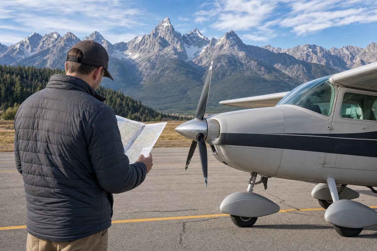
On density altitude, the FAA states that normally aspirated engines lose roughly 3% of power for every 1,000 feet (305 m) of density altitude above sea level. At Aspen-Pitkin County Airport, elevation 7,820 feet (2,384 m), performance on a warm day can run 20–25% below sea-level figures, and true airspeed runs approximately 2% higher than indicated airspeed per 1,000 feet of altitude, extending landing rolls and turn radii. The FAA recommends leaning the engine above roughly 5,000 feet (1,524 m).
On climb performance, AOPA states that a Cessna 172 that carries four occupants comfortably at a coastal airport may effectively become a two-seater in mountain conditions, and the FAA guidance states pilots should "never try to out-climb the terrain." Colorado's Lake County Airport, the highest public-use field in North America at 9,934 feet (3,028 m), is cited as an example of thin climb margins.
On wind, the FAA's general guideline calls for winds aloft no stronger than 25 knots (46 km/h) at 9,000 and 12,000 feet, a ceiling at least 2,000 feet above every ridge and pass along the route, and visibility of at least 10 miles. Wind exceeding 25 knots flowing perpendicular to a ridge can produce a mountain wave with downdrafts exceeding 1,000 feet per minute, enough to prevent a crossing even at full power, and severe turbulence can develop in the rotor beneath the crest of a mountain wave.
On route selection, AOPA's Lake Tahoe planning example recommends a longer route following lower terrain, roads, and open water rather than a straight ridge crossing, crossing ridges at a 45-degree angle, and hugging one side of a canyon to preserve a 180-degree turn-out option. On alternates, AOPA recommends confirming current NOTAMs and temporary flight restrictions and cross-checking GPS depictions against visible terrain, and the FAA recommends knowing go-around and rejected-takeoff options before descending to a mountain airport. On time of day, both AOPA and the FAA recommend completing mountain crossings and mountain-airport operations before midday, since mountain air is calmest in the first hours after sunrise before solar heating generates thermals, and hypoxia can impair judgment at altitude before symptoms appear.
Industry impact & what to watch
This guidance belongs to a familiar category in general aviation safety communication: translating accident statistics into checklist-style procedures aimed at the specific decision points where pilots historically go wrong. The recurring theme across all six checks is margin — density altitude erodes power margin, wind erodes structural and control margin, direct routing erodes escape margin, and afternoon timing erodes both performance and physiological margin simultaneously.
Mountain flying illustrates how general aviation risk concentrates at the intersection of aircraft performance limits and pilot decision-making under degraded options. Published performance figures assume sea-level conditions that mountain airports rarely provide, which means the same aircraft and the same pilot skill produce very different safety margins depending on elevation, temperature, and time of day. Route and alternate planning compound this: fewer usable escape paths mean a single miscalculation in wind or climb performance has less room to be corrected in the air.
What continues to matter is whether individual pilots translate published guidance into actual preflight practice rather than relying on general experience, since the FAA attributes most controlled-flight-into-terrain accidents to pressing on when conditions called for turning back. The persistence of a near-50% fatality rate at mountain airports suggests the gap lies less in the availability of guidance than in its application before each flight.