Eastern Pacific Disturbance EP95 Has 90% Chance of Becoming Tropical Depression Within 48 Hours, Models Show Possible Southern California Approach
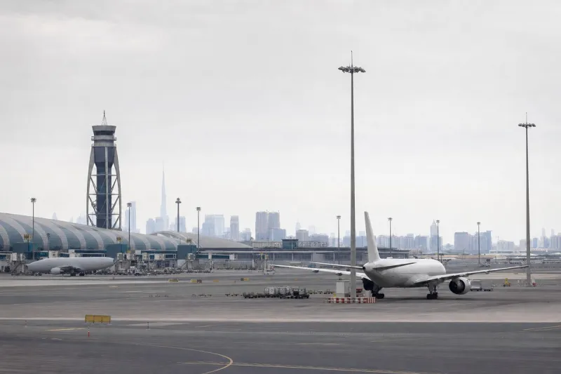
Why It MattersA storm system tracking toward Southern California raises the prospect of disrupted business-jet operations and diversions at West Coast airports during the Labor Day period.
A tropical disturbance designated EP95 in the eastern Pacific has a 90% chance of developing into a tropical depression within 48 hours, the US National Hurricane Center (NHC) said. The system was located well offshore southwestern Mexico late Sunday, moving generally northwest at 10 to 15 mph, with disorganised showers and thunderstorms but conditions favourable for further development. The NHC has not issued an official track or intensity forecast; an earlier outlook had put the 48-hour probability at 80% and the seven-day probability at 90%, figures cited by National Weather Service meteorologist Bryan Lewis before the NHC raised the shorter-term figure.
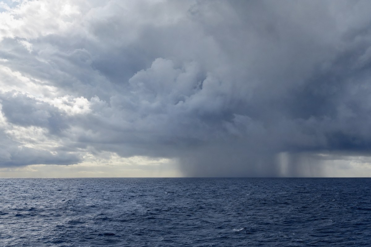
Weather prediction models cited by KTLA meteorologist Kaj Goldberg show a strong possibility of an eye developing off Baja California by Thursday, though the NHC has not forecast eye formation at this stage. Goldberg said the system could reach hurricane strength by Friday or Saturday before weakening and potentially making landfall in Southern California as a tropical storm, bringing heavy rain, extreme humidity and possible flooding into the following week. Lewis told the Los Angeles Times significant uncertainty remains over whether the system would bring rain to Southern California, with higher surf and stronger rip currents considered more likely over the Labor Day weekend.
Direct tropical-storm landfalls from the Pacific are rare in California, with an unnamed 1939 storm near Long Beach and Hurricane Nora in 1997 cited as past instances, and Hurricane Hilary in August 2023 having lost its tropical characteristics before crossing into the state. Separately, Hurricane Karina reached Category 3 status ahead of schedule by Sunday evening with sustained winds of 125 mph, remaining far offshore with no coastal watches or warnings, though the NHC said its swells would bring dangerous surf and rip currents to southwestern Mexico and Baja California, and the NWS warned of a high rip-current risk along Los Angeles County beaches.
Sea surface temperatures along Southern California beaches were running 5 to 10 degrees above normal, with readings of 74 to 76 degrees Fahrenheit along Los Angeles County beaches, according to NWS data cited by KTLA. NOAA has tracked a marine heat wave off central and Southern California since May 2025, and the Climate Prediction Center says El Niño is strengthening with a greater than 90% chance of becoming a very strong event during the 2026–27 Northern Hemisphere fall and winter.