Dome Fire Forces Closure of Mariposa-Yosemite Airport; Blaze Exceeds 4,000 Acres Near Yosemite
Why It MattersWildfire response operations can override normal civil aviation access at rural airports, showing how firefighting helicopter traffic and smoke conditions can suspend general aviation activity for an undetermined period.
What happened
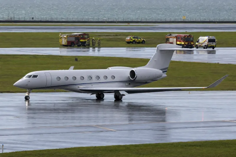
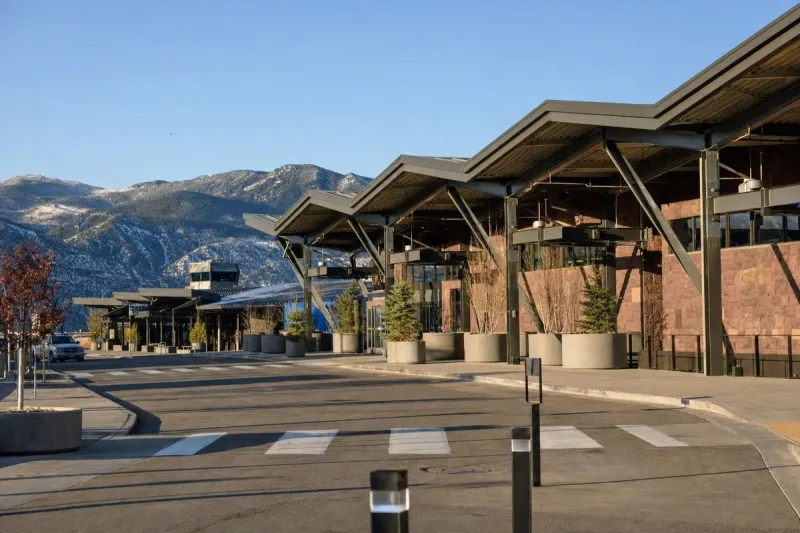
The Dome Fire burning in the backcountry near Yosemite National Park has forced the closure of Mariposa-Yosemite Airport to all civilian aircraft takeoffs and landings, as heavy helicopter traffic supports firefighting operations in the area. The county-owned airport, located 18 miles from the park in Mariposa, California, posted a notice on its website stating the duration of the closure is unknown.
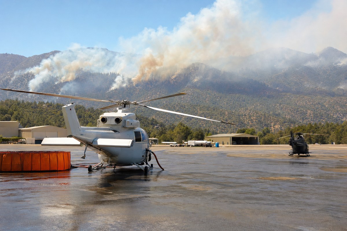
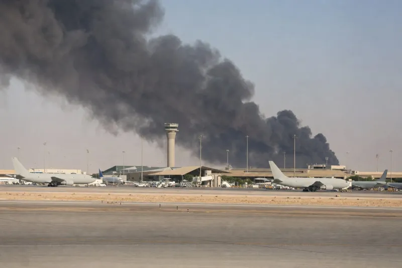
Now in its second week, the Dome Fire has grown to just over 4,000 acres. It has reached Glacier Point Road and extends well into the footprint of the 2017 Empire Fire near Chilnualna Falls. Benjamin Cossel, a public information officer with the California Complex Incident Management Team 3, described the fire as "extremely slow growing" but noted that "the fuels are receptive." Two helicopter pilots died in a crash on Sunday, and the National Park Service said broader impacts to the park have been minor and operational.
A closure zone covers the area from Wawona at the southern entrance to the Badger Pass Ski Area, and from Wawona Road (Highway 41) east to the Chinquapin junction. On Wednesday, the closure was expanded to include Glacier Point Road, shut over safety concerns due to reduced visibility from smoke along the 16-mile route, which serves as a key staging point for firefighting.
The Four Mile and Panorama trails remain open for visitors wishing to access the Glacier Point overlook. The park service clarified that the road closure is not season-ending and that Glacier Point Road will reopen when conditions allow, noting it is normally closed by snow in November. Additional trail closures include the Chilnualna Falls trail, several trails leading to Buena Vista and Crescent lakes, the Ostrander Trail near the Mono Meadows trailhead, and all areas and trails south of it. Bridalveil Falls, located within the fire's closure zone, also remains inaccessible. Most major tourist destinations in Yosemite Valley remain open.
Industry impact & what to watch
Wildfire suppression routinely takes priority over civil aviation access when firefighting aircraft need unrestricted airspace and ground infrastructure near an active fire. A county-owned general aviation field like Mariposa-Yosemite Airport can be shut to all civilian traffic for an open-ended period once it becomes part of the firefighting logistics chain, regardless of the fire's size relative to major regional blazes.
This case also shows how smoke, not just flame, drives closures: Glacier Point Road was shut for reduced visibility rather than direct fire encroachment, even as it continued serving as a staging point for crews. The distinction between park-wide disruption and localized closure matters operationally — the National Park Service explicitly characterized broader park impacts as minor while maintaining a defined closure zone and several trail closures.
What happens next depends on fire behavior officials have called slow-growing but fed by receptive fuels, and on how long helicopter operations require exclusive use of the airport and airspace. The reopening of both the airport and Glacier Point Road will track containment progress and visibility conditions rather than a fixed calendar date, aside from the road's normal snow closure expected in November.