San Francisco Bay Area Faces Record King Tides and Storm; Mayor Urges Residents to Avoid Unnecessary Travel
Why It MattersCoastal flooding that closes tunnels, shoreline roads and low-lying routes in back-to-back events shows how quickly tide-driven disruption can cut regional ground access across the Bay Area and Southern California coast.
What happened
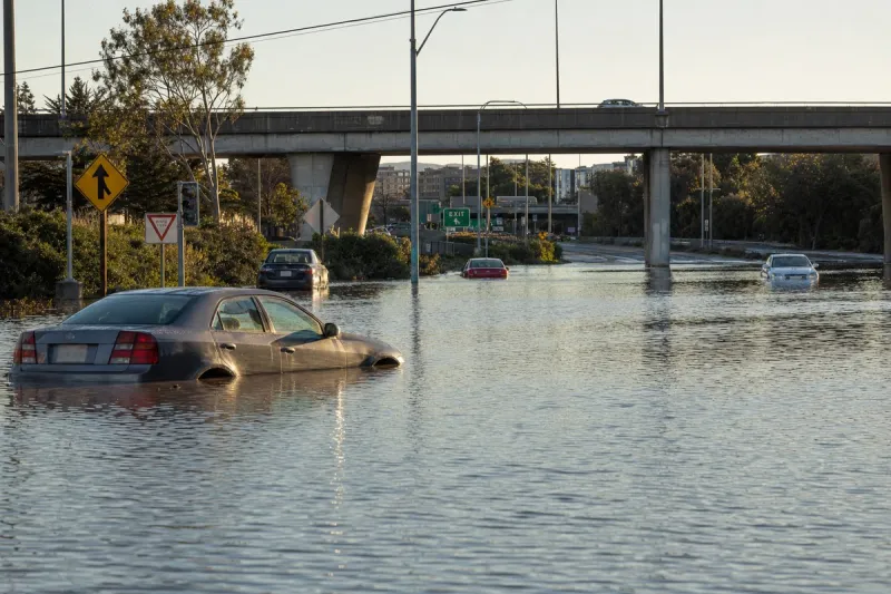
A moderate-to-strong storm is set to hit the San Francisco Bay Area starting Tuesday, just as the highest tides of the year arrive. Officials warn the California coast could see all-time high sea levels this week. San Francisco Mayor Daniel Lurie urged residents to avoid unnecessary travel, especially around peak tide periods, while the city is still recovering from exceptional flooding caused by last week's powerful rainstorm. The San Francisco Department of Emergency Management recommended avoiding unnecessary travel from Monday afternoon through Wednesday.
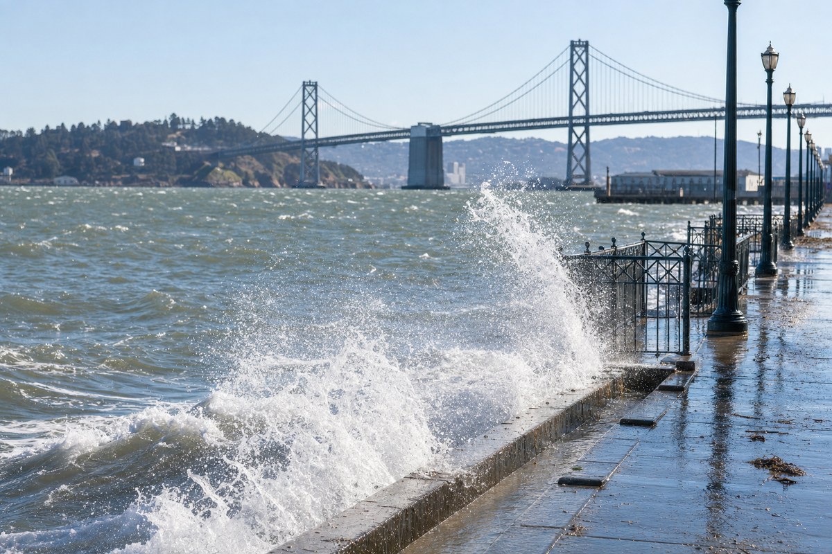
The conditions are being driven by El Niño, hot ocean temperatures and king tides among the highest in two decades. The all-time maximum sea level at the San Francisco tidal gauge at Crissy Field was set on Jan. 27, 1983, at 8.66 feet above the baseline. As of Sunday morning, the predicted maximum this week was 8.6 feet, down from an earlier 8.8 feet, though levels could still exceed 9 feet depending on storm surge. The storm is expected to bring roughly 1.5 inches of rain to San Francisco over two days, compared with 3.2 inches in two days last week.
Crews were installing emergency flood barriers along the bay shoreline, including a Tiger Dam at the San Francisco-Oakland Bay Bridge toll plaza. State transportation officials ordered the Posey Tube tunnel, the only vehicular route out of western Alameda to Oakland, shut starting Sunday night. Marin County said people in low-lying areas of the Tiburon Peninsula should consider leaving before the daily highest tide, from Sunday through Black Friday.
Southern California is not getting a major storm, but the National Weather Service warned of extreme coastal flooding and high surf risk on Thanksgiving Day in Orange and San Diego counties, with major impacts on Tuesday, Wednesday and Black Friday. Flooding on Oct. 27 damaged 114 homes and other structures in Huntington Beach alone, and forecasters said this week's could be as bad or slightly worse. Huntington Beach plans daily closures of low-lying roads Monday through Friday, including a full closure of a 3.7-mile stretch of Pacific Coast Highway through Sunset Beach.
Industry impact & what to watch
Tide-driven flooding behaves differently from a storm that passes: it returns twice a day on a predictable schedule, and it can close access routes whether or not rain is falling. The Posey Tube closure illustrates the pattern, since shutting the only vehicular route out of western Alameda removes a whole district's road link to Oakland. Back-to-back events, a heavy rainstorm one week and record-range tides the next, leave drainage and shoreline defences with little recovery time.
For anyone whose operations depend on ground access around the Bay Area or the Orange County and San Diego coast, the relevant variable is timing against the daily peak tide rather than the storm alone. Barrier installations and road closures of this kind tend to be announced in short windows, so access conditions on any given day can differ sharply from the forecast issued a few days earlier.
The next marker is the observed peak at the Crissy Field gauge against the 8.66-foot record, with storm surge deciding whether the predicted 8.6 feet is exceeded. The Huntington Beach comparison with the Oct. 27 damage will show whether Southern California's impacts match the forecasters' warning.