ItaMilRadar Map Shows Satellite Navigation Interference Along Almost All of NATO's Eastern Flank on Nov. 3
Why It MattersPersistent, border-wide navigation interference makes degraded GPS a standing planning condition for eastern European flying, and because crowd-sourced maps cannot show who jams, attribution stays contested between Russian and NATO-side sources.
What happened
Satellite navigation interference affected almost the entire length of NATO's eastern border on Nov. 3, according to a map of aircraft data published by the Italian flight-tracking project ItaMilRadar. The heaviest disruption formed a nearly continuous band from the southern Baltic Sea through Lithuania, eastern Poland, Romania and Bulgaria to the western Black Sea. In a post on Nov. 4, ItaMilRadar said virtually the entire eastern flank of NATO was affected by strong, geographically concentrated jamming along the eastern border.
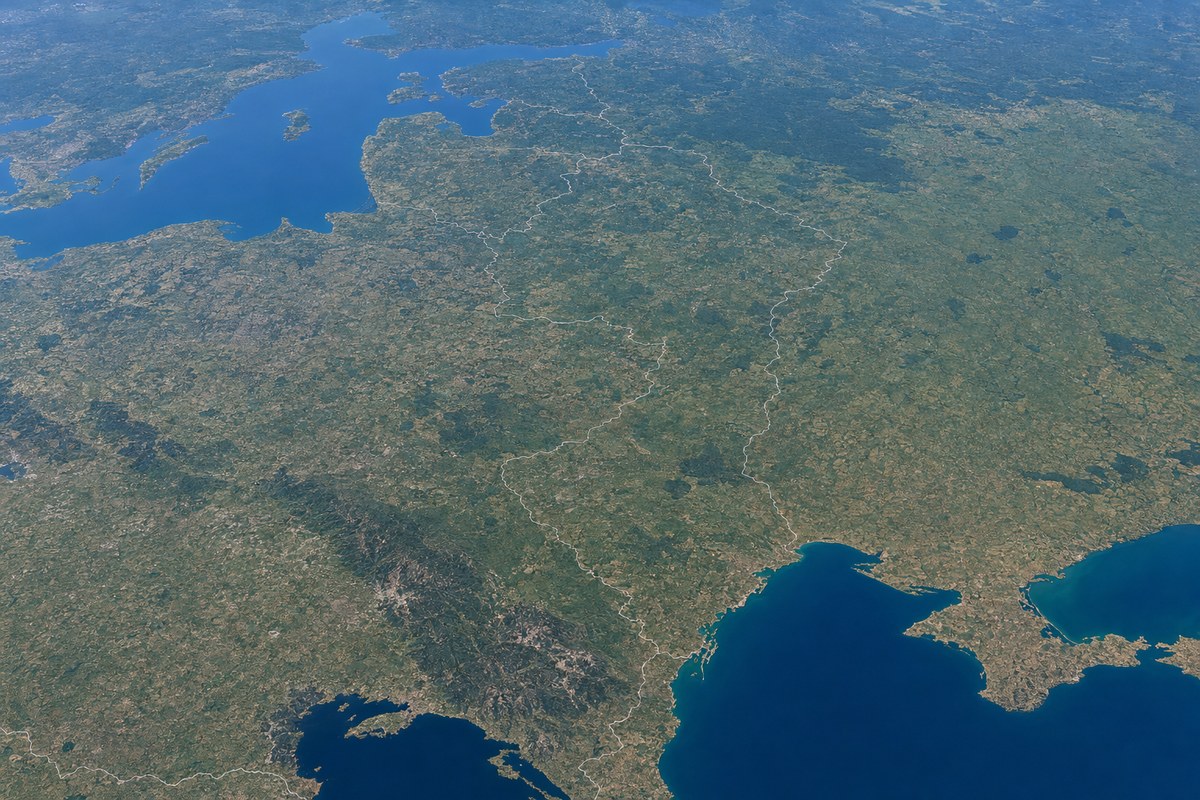
The map, built with data from AirNav Radar, shows where aircraft reported degraded GPS and other satellite navigation signals during the day. The densest areas lay over the Baltic coast near Russia's Kaliningrad exclave, along Poland's border with Belarus and Ukraine, over Romania and Moldova, and along Bulgaria's Black Sea coast. Lighter interference appeared along air routes across Belarus and western Russia, around Crimea and in the Caucasus.
Such maps show where aircraft lost navigation accuracy but do not identify the source of the signals, and no government has said who was behind the Nov. 3 interference. The band closely follows border areas that Russian attack drones have crossed during strikes on Ukraine. Part of it may come from counter-drone jamming that NATO countries use to push satellite-guided drones off course before they reach their territory; along the borders with Belarus and Kaliningrad, the interference could originate from the European side as well as from Russia.
Russian sources have driven much of the Baltic interference in the past. A research team using monitoring stations around Poland's Gdańsk Bay triangulated jamming and spoofing sources, to a precision of about one kilometer, to two coastal locations in Kaliningrad close to known electronic warfare units and military antenna sites, Defense News reported; a second hotspot lies around St. Petersburg. In early 2025, Sweden and five neighboring countries told the International Civil Aviation Organization that about 123,000 flights over Poland, the Baltic states, Finland and Sweden were affected by interference.
Drones have repeatedly strayed across NATO's eastern border during Russian strikes on Ukraine; in September, a Russian drone flew deep into Romania before crashing in Moldova.
Industry impact & what to watch
A map built from aircraft-reported signal degradation measures effect, not origin. That distinction matters for the segment: operators flying into or across the eastern flank are dealing with a condition whose cause may be hostile jamming, defensive counter-drone measures, or both layered together, and the same aircraft-side symptom looks identical in each case.
For business aviation flying eastern European and Black Sea routes, a band of interference this continuous means degraded satellite navigation is less an occasional event than a standing feature of the operating environment along the border. Flight planning there generally leans on non-satellite navigation aids and crew procedures for positioning loss, and the breadth of the Nov. 3 picture shows why that dependence is shared across airspace of several different states.
The open point is attribution. No government has confirmed jamming on its side of the border, so the next meaningful signal would be an official statement from any of the countries involved, or a source-location study like the Gdańsk Bay work, applied to the new hotspots in Romania, Moldova and Bulgaria.