Hanson Prepares 20-Year Master Plan and Airport Layout Plan for Vero Beach Regional Airport
Why It MattersPlanning for a general aviation airport that gains airline service mid-study shows why master plans must stay flexible and fold commercial, advanced air mobility and stormwater needs into one development framework.
What happened
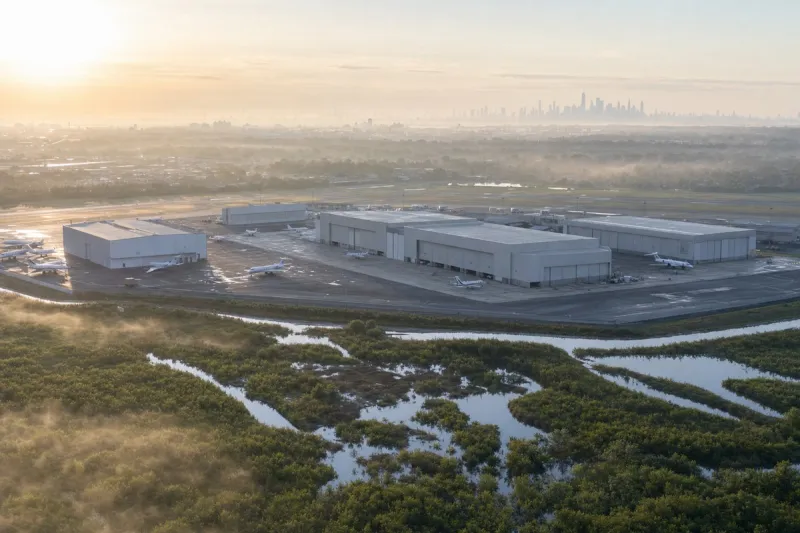
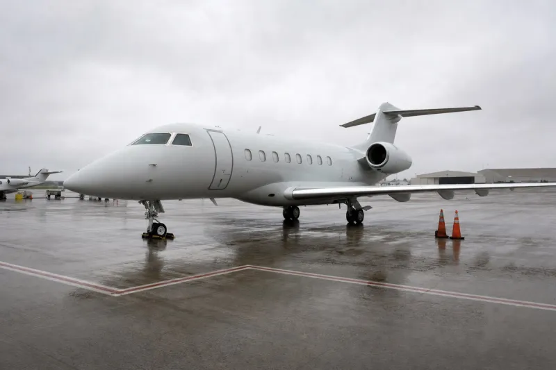
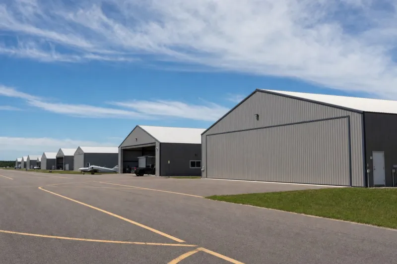
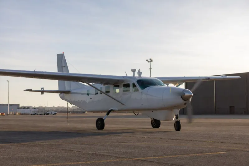
Hanson was selected to prepare a master plan for Vero Beach Regional Airport (VRB) in Florida, setting a vision for the airport's development and operational sustainability over the next 20 years. VRB is a surplus property airport that was deeded to the city of Vero Beach after World War II. Before the plan, it was a busy Part 139 general aviation airport supporting aircraft manufacturing, training and corporate operations.
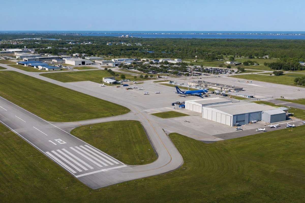
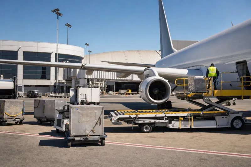
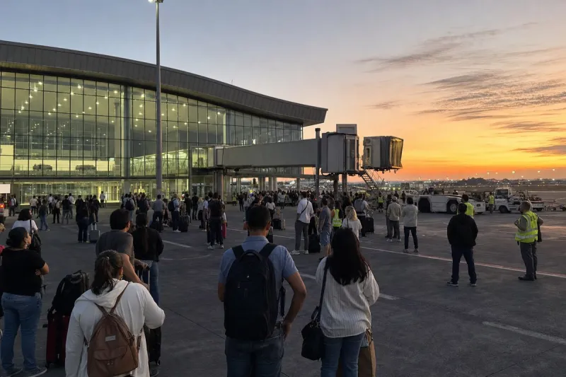
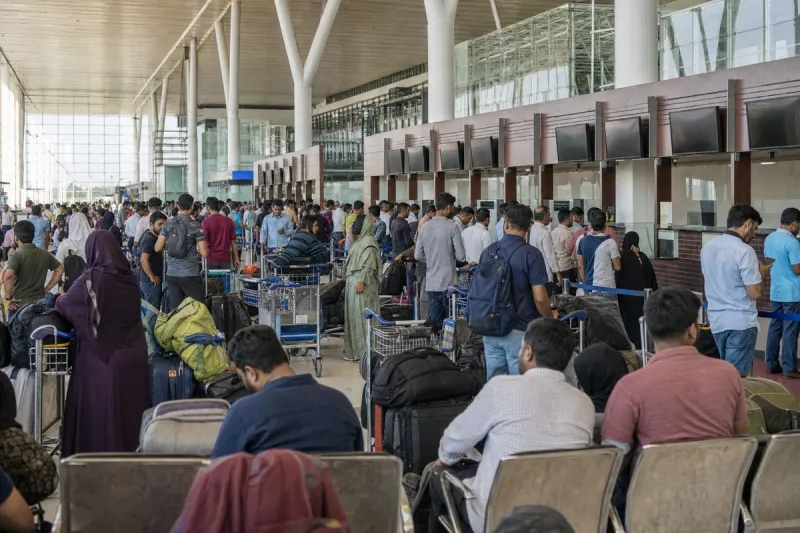
Once the plan was underway, Breeze Airways began service at VRB, adding commercial service to the airport's offerings. Because development continued during the study, the planning process had to remain flexible, including accommodating the rapid growth of VRB's commercial service segment.
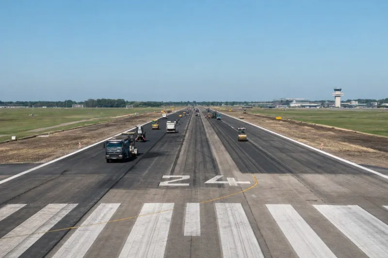
Hanson followed Federal Aviation Administration (FAA) standards, incorporated input from airport users and the community, and assessed local, regional and national general aviation and commercial service trends. It evaluated existing facilities against FAA Advisory Circular 150/5300-13B, which led Hanson and VRB to address overlapping runway safety areas, land use within runway protection zones, taxiway configurations and run-up pads. The plan also covered expansion opportunities to grow and diversify the airport's revenue stream, and the process included stakeholders and public engagement.
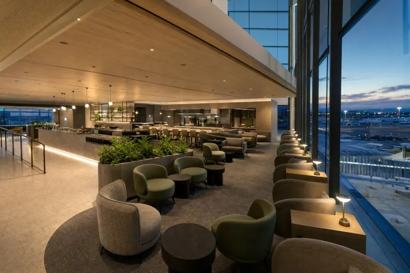
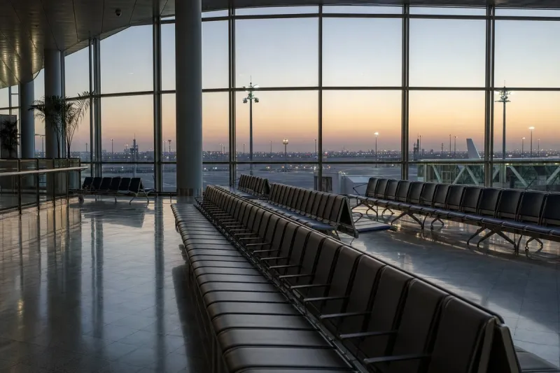
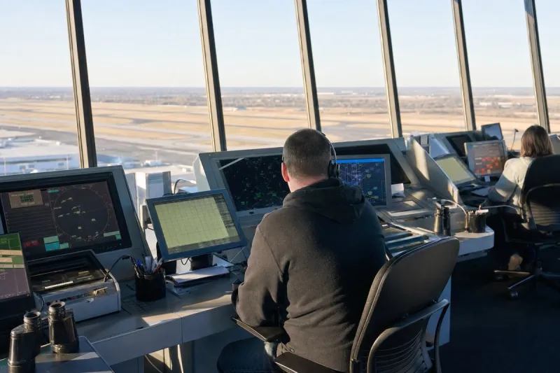
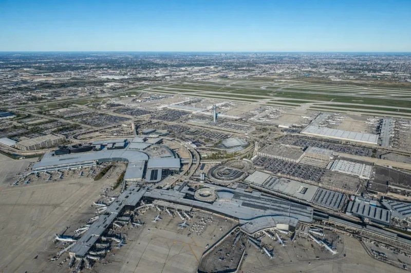
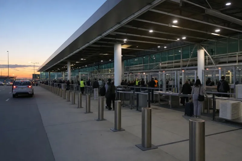
The airport layout plan covers an inventory of built and natural environmental conditions, FAA AGIS-compliant base mapping, and air traffic control tower alternatives such as cameras or virtual options. It also covers passenger traffic and terminal needs, landside pedestrian safety, aviation business expansion areas and flexible aircraft storage development areas. Further elements are taxiway improvements, including a better connection to runways 4 and 12L, drainage improvements, utilities including fiber, nonaeronautical development potential and a new ALP drawing set.
Stormwater and vertiport components
Hanson also provided a concurrent stormwater master plan. It included a GIS inventory of existing stormwater infrastructure, a hydrologically conditioned digital elevation model, a revised ICPR model and a web-based mapping utility for model results. The stormwater work also assessed future development alternatives and produced a capital improvement plan for stormwater maintenance and expansion.
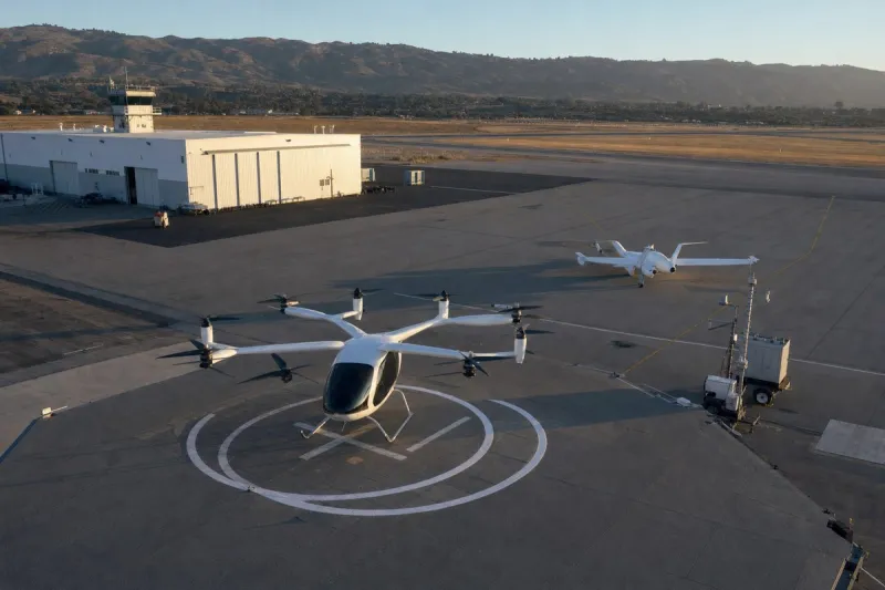
The layout plan includes a vertiport site to accommodate electric vertical takeoff and landing vehicles and advanced air mobility operations. Approach surfaces for the site were coordinated with local air traffic control tower staff.
Industry impact & what to watch
Vero Beach illustrates a situation common to general aviation airports: a long-horizon plan is written while the traffic mix is already shifting. Here, Breeze Airways began service during the study, and the plan had to absorb commercial growth without having been scoped around it. For airports in a similar position, a 20-year layout plan works less as a fixed blueprint and more as a framework that can take new segments as they arrive.
The plan also bundles items that are often handled separately: terminal needs, revenue diversification, stormwater capacity and a vertiport site for advanced air mobility. Treating drainage and utilities such as fiber alongside runway and taxiway geometry reflects how land-constrained airports tend to pair aeronautical improvements with nonaeronautical income.
The next milestones are the specific items the plan leaves open: which air traffic control tower alternative is chosen, and how the runway safety area and runway protection zone issues are resolved against FAA Advisory Circular 150/5300-13B.