GPS Jamming Reported Over Los Angeles by United and Alaska Airlines Crews
Why It MattersGPS interference incidents test whether backup navigation and radar-vector procedures keep large commercial aircraft safe while raising sharper risk for smaller aircraft with fewer redundant systems.
What happened
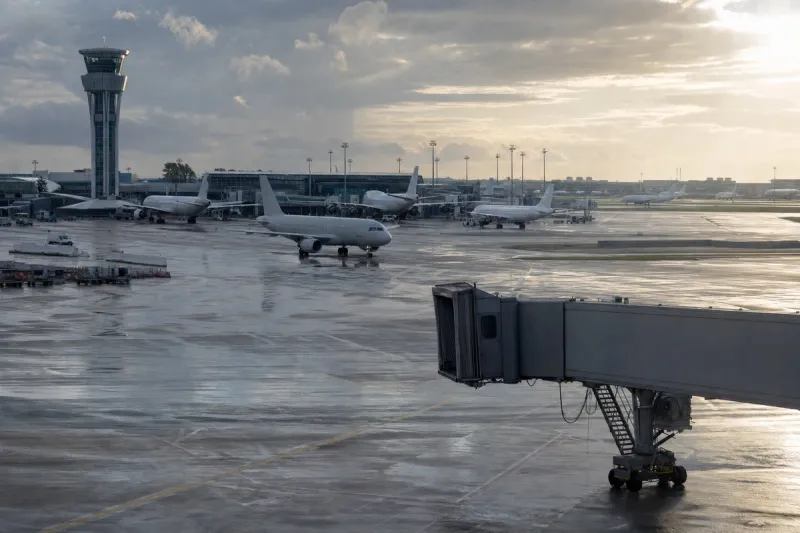
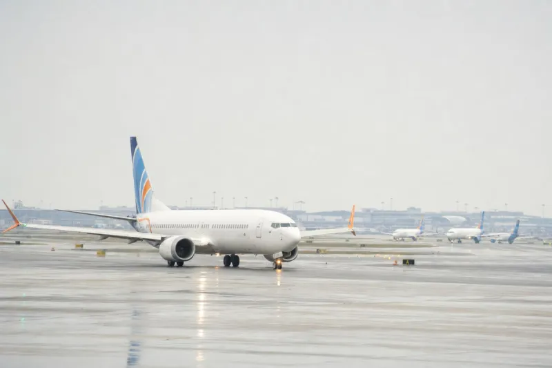
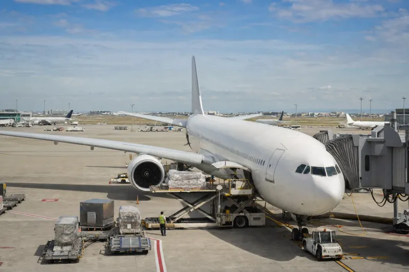
Crews on at least two United Airlines flights reported GPS interference affecting their navigation over the Los Angeles area in the early hours of Friday, 25 September 2026. United flight UA1962, an Airbus A321neo departing LAX, reported the problem at approximately 00:36 local time, followed by United flight UA1866 at around 01:15. AIRLIVE also listed Alaska Airlines flight AS222, operated by a Boeing 737 MAX 9, as affected. The interference was described as covering Los Angeles airspace and an offshore corridor over the Pacific.

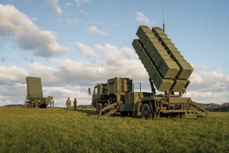
All aircraft continued safely. No official explanation for the source of the interference has been published. Possibilities under review, according to AIRLIVE, include ground-based jammers, unauthorised radio transmissions and military electronic testing on nearby coastal ranges. No government authority has made a statement.
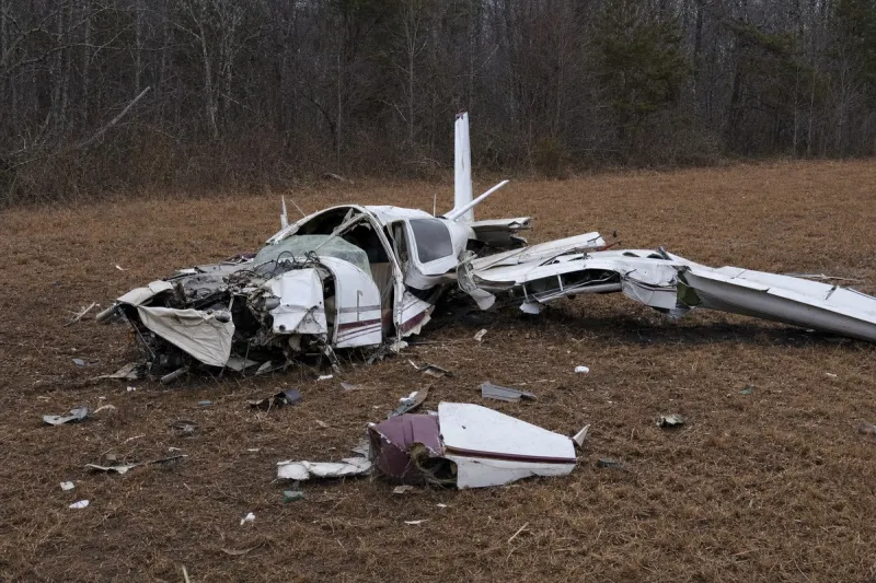
The reports come months after a fatal accident in New Mexico that investigators have linked to GPS jamming. On 14 May 2026, a King Air air ambulance crashed into a mountain near Ruidoso, New Mexico, killing both pilots and two flight nurses. According to the National Transportation Safety Board's preliminary report, the crew reported losing GPS capability shortly before the crash while White Sands Missile Range was conducting a GPS jamming exercise with an effect radius of 240 nautical miles. The NTSB investigation remains open and no probable cause has been determined.
How aircraft cope without GPS
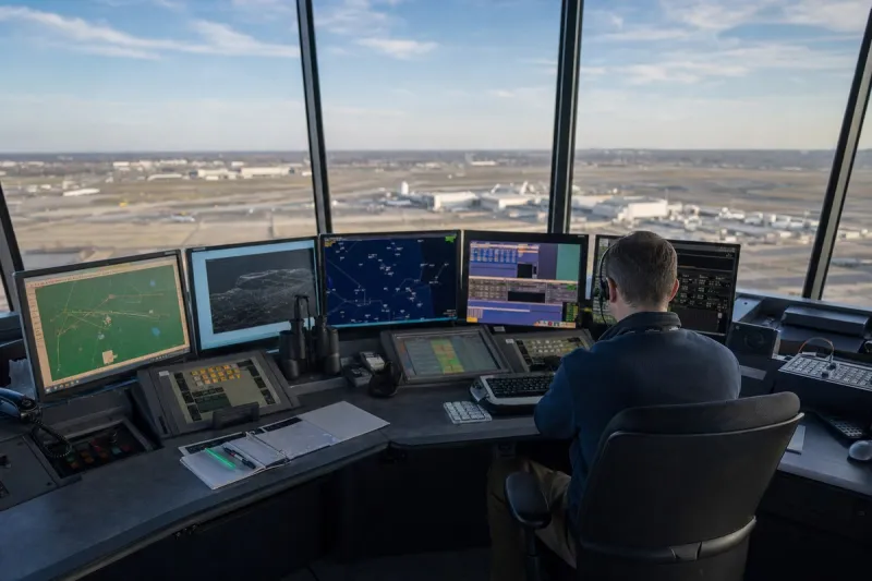
Airliners carry inertial reference systems and can navigate using ground-based radio aids such as VOR and DME, and air traffic control can provide radar vectors when GPS is unavailable. GPS loss can still degrade ADS-B position reporting, restrict some approach procedures and reduce terrain warning accuracy, limitations that are more consequential for smaller aircraft with fewer backup systems.
Industry impact & what to watch
Reports of GPS interference clustering around a major metropolitan corridor fit a broader pattern in which commercial crews increasingly flag navigation anomalies that ground authorities have yet to explain. Large commercial operators absorb these events through layered redundancy — inertial reference units, VOR/DME, and radar vectoring from air traffic control — which is why UA1962, UA1866 and AS222 all continued without incident despite the reported interference.
The segment's exposure is uneven: the same interference that a widebody or narrowbody jet shrugs off through backup systems can strip a smaller aircraft, particularly one relying more heavily on GPS for approach guidance and terrain awareness, of its safety margin. That asymmetry is central to the open NTSB investigation into the Ruidoso crash, where the crew reported losing GPS capability during a military jamming exercise with a 240 nautical mile effect radius before impact.
What happens next depends on whether any government authority publishes a source for the Los Angeles interference and whether the NTSB's Ruidoso investigation reaches a probable cause that formally ties military jamming exercises to civilian navigation risk. Until either statement appears, the Los Angeles reports stand as an unexplained pattern rather than a confirmed cause.