Heavy Rain and Thunderstorms Cancel 157 Flights at Chicago O'Hare and Midway, Trigger Flood Watches Across Region
Why It MattersGround stops and multi-county flood alerts show how a single regional storm system can cascade into scheduling disruption across two connected hub airports at once.
What happened
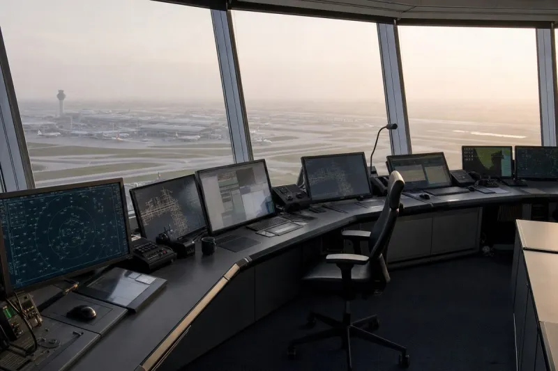
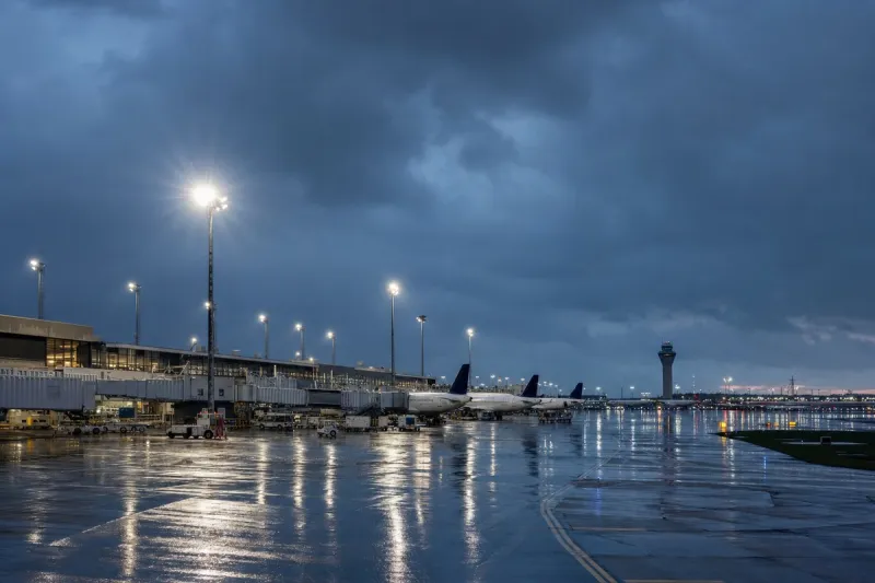
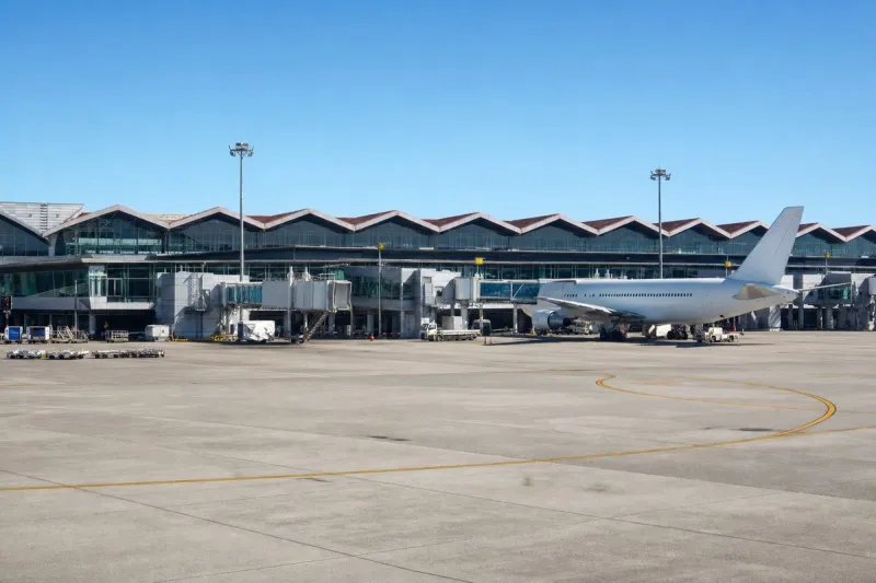
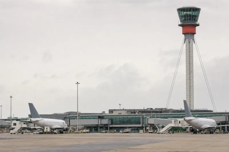
Severe weather moved through the Chicago area on Saturday, bringing heavy rain and thunderstorms that disrupted air travel and prompted Flood Watches across counties in Illinois, Indiana, and Wisconsin. As of the latest reports, 86 flights were canceled at Chicago O'Hare International Airport and 71 at Chicago Midway International Airport, for a combined total of 157 cancellations. Departures to O'Hare were delayed an average of 203 minutes, while departures from O'Hare were delayed an average of 60 minutes.
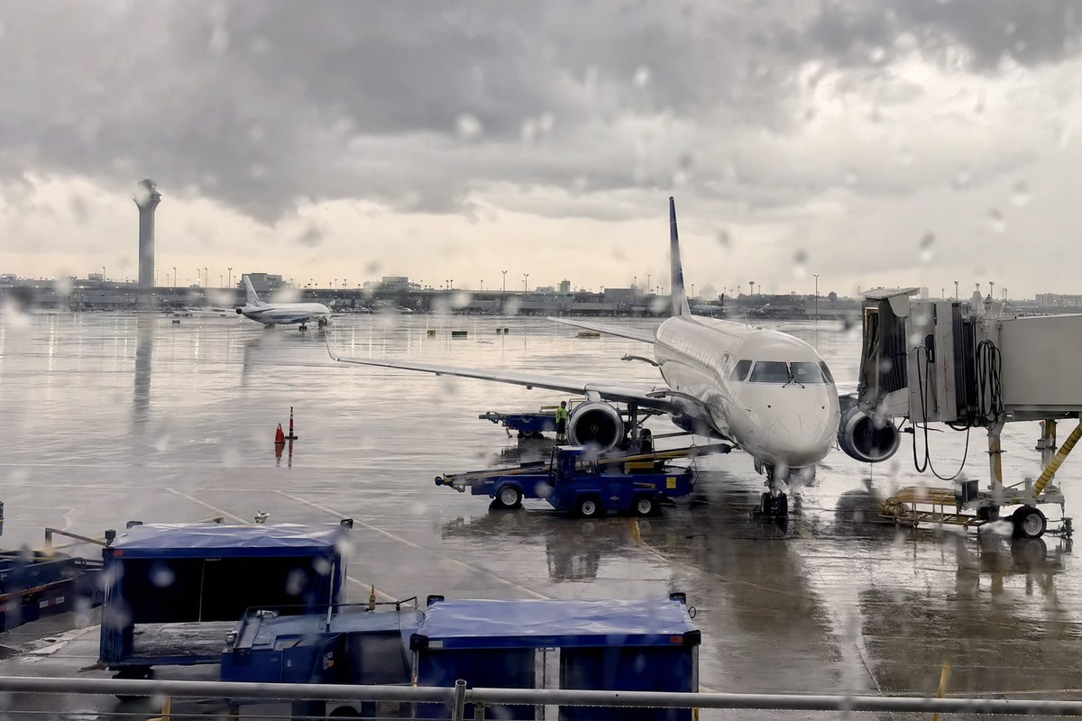
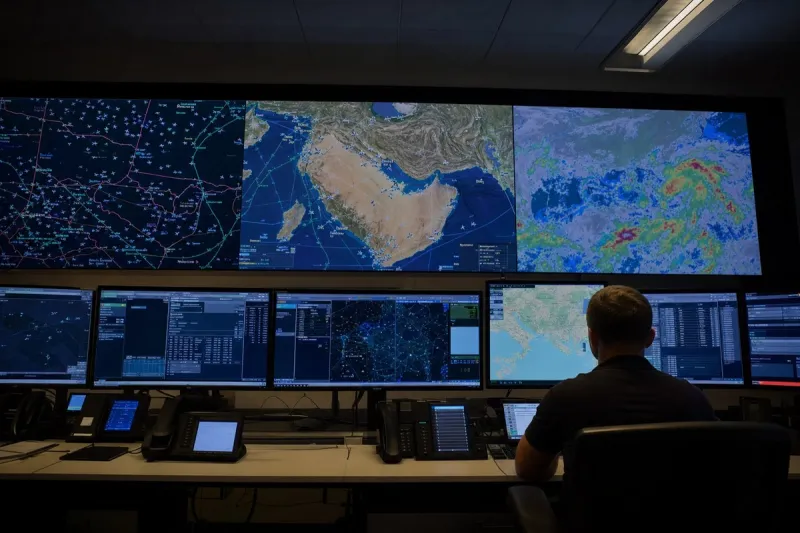
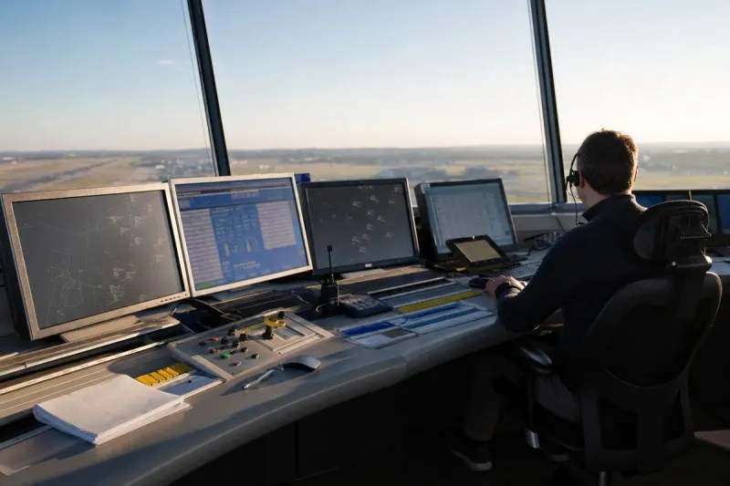
A Ground Stop for departures to Midway was in effect due to thunderstorms until 8 a.m. O'Hare had also been under a Ground Stop, which has since been replaced by a Ground Delay and Departure Delay, according to the Federal Aviation Administration and the FlyChicago website.
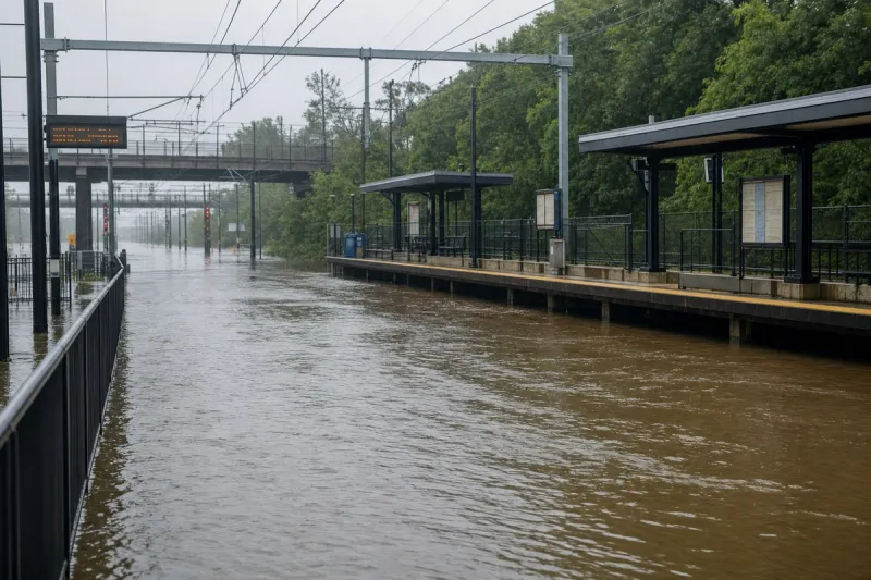
A Flood Watch was issued for Lake (IL), DeKalb, Kane, DuPage, Kendall, Cook, Will, Lake (IN), and Porter counties starting at 4 a.m. Boone and McHenry counties came under a Flood Watch from 3:40 a.m., while LaPorte, Starke, and Berrien counties were placed under a Flood Watch from 3:30 a.m. In Wisconsin, Racine, Kenosha, and Walworth counties were under a Flood Watch from 4 a.m., and a Flood Advisory remained in effect for Lake and McHenry counties until 9 a.m. The south suburbs and northwest Indiana were also under a Level 1 risk for severe weather.
Meteorologists warned that some areas could receive 2 to 4 inches of rain in a short period. The first round of rain began early Saturday morning and was expected to last until noon, with stray showers possible between noon and 6 p.m. and another round of heavy rain expected in the evening. Scattered showers are also possible on Monday. Temperatures on the first day of fall were forecast to reach only the low 60s Fahrenheit, about 10 degrees below average, and rain may also affect the Chicago Bears' home opener, scheduled for noon Sunday at Soldier Field.
Industry impact & what to watch
This is a routine but costly pattern for a dual-hub metro: a convective system parks over the region and both O'Hare and Midway absorb ground stops within hours of each other, because the same storm cell affects both fields' approach and departure corridors simultaneously. The 203-minute average delay for O'Hare-bound departures versus the 60-minute average for O'Hare departures shows how ground programs load the cost onto inbound traffic first, holding aircraft at their origin rather than letting them arrive into a saturated airspace.
The wider Flood Watch footprint across nine Illinois and Indiana counties plus three in Wisconsin signals that the disruption is a regional airspace and ground-transport event, not an isolated airport problem, which is why both FAA ground programs and county-level flood alerts were issued together. With another rain band expected Saturday evening and scattered showers possible Monday, the near-term question is whether the Ground Delay Program at O'Hare and the Midway restrictions lift on schedule or extend into Sunday, when rain could also affect the Bears' noon home opener at Soldier Field.