FAA Airport Surface Hot Spots: High-Risk Taxiway and Runway Intersections Identified at Multiple U.S. Airports
Why It MattersPersistent confusion at non-standard holding positions and signage shortfalls shows how surface risk at regional airports often stems from layout and visibility gaps rather than pilot error alone.
What happened
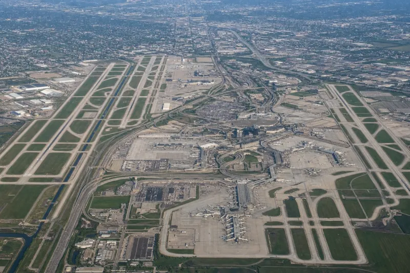
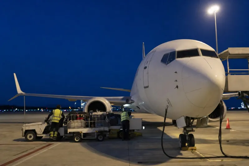
Airport surface hot spots are officially designated locations on an aerodrome movement area carrying a history or elevated risk of runway incursions or surface collisions, requiring heightened attention from pilots and vehicle operators. They are charted on airport diagrams as open circles or ellipses labeled "HS 1", "HS 2", and so on, and remain on charts until the associated risk is reduced or eliminated. Documented causes include complex or confusing taxiway/runway intersections, airport layout, traffic flow, inadequate markings, signage, lighting, situational awareness, and training deficiencies.
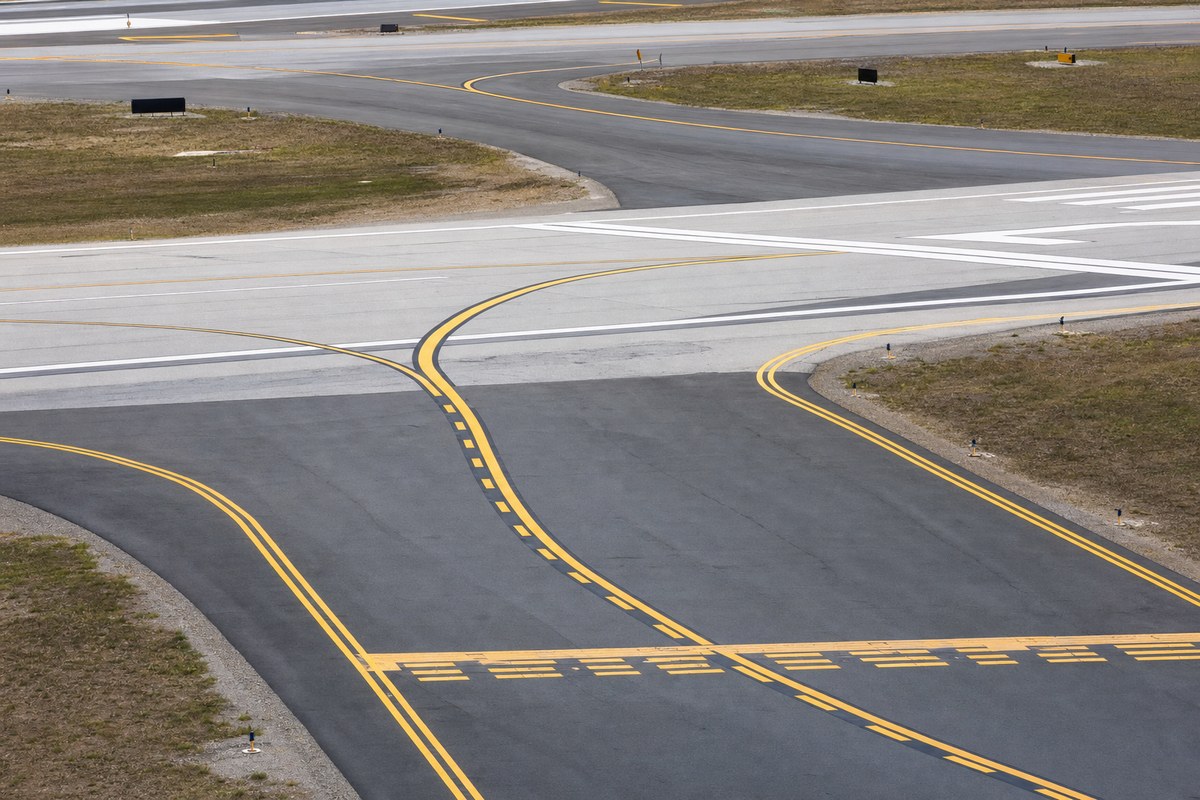
At Fort Dodge Regional Airport (FOD) in Fort Dodge, Iowa, HS 1 involves an intersection on a taxiway just prior to runways. At Joplin Regional Airport (JLN) in Joplin, Missouri, HS 1 covers Runway 13-31 hold-short markings on Taxiway E, while HS 2 warns that pilots taxiing to Runway 31 via Taxiway C frequently confuse the non-standard Runway 31 Holding Position with an ILS Holding Position — a configuration required because of the displaced threshold on Runway 31 and the need to keep aircraft outside the Object Free Area.
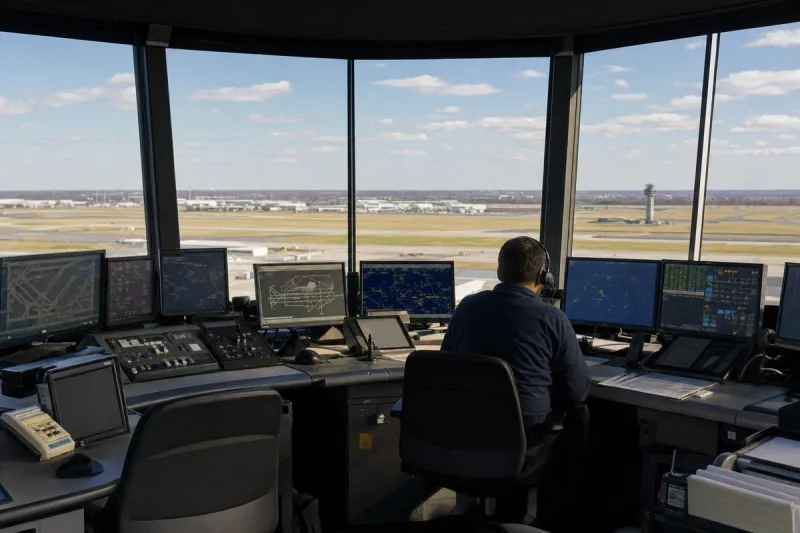
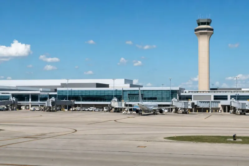
Additional documented hazards across multiple airports include aircraft landing on Runway 10 sometimes mistaking Runway 02-20 for Taxiway D, and runway holding position markings not visible from the control tower at a taxiway/runway intersection. Runway 13-31 was noted as being in close proximity to ramp non-movement areas at Taxiway D (HS 2) and Taxiway C (HS 3). Aircraft taxiing southbound on Taxiway L to Runway 04 or Runway 01 were documented continuing straight across Taxiway D, with northbound traffic on Taxiways F and D advised to turn left on Taxiway L to avoid Runway 01-19. Congestion was also noted near the main terminal on a taxiway.
Industry impact & what to watch
These designations belong to a broader category of surface-safety documentation that the FAA and airports maintain to flag intersections, holding positions, and taxi routes where pilots and ground vehicles have historically made errors or face confusing layouts. Hot spots function as a standing visual warning on airport diagrams rather than a one-time alert, staying charted until the underlying layout, signage, or marking issue is actually fixed.
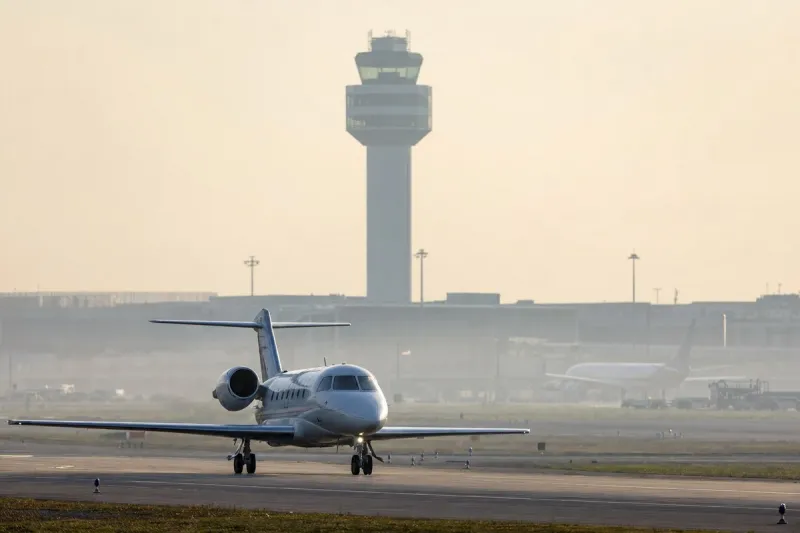
For general aviation and charter operators flying into smaller regional fields like Fort Dodge and Joplin, this illustrates how surface risk often comes from non-standard configurations — a displaced threshold, an Object Free Area constraint, a holding position invisible from the tower — rather than from traffic volume alone. Pilots briefing these airports need to cross-check hot-spot locations against the specific taxiway and runway combination they will use, not just the airport name.
What happens next at each flagged location depends on whether the airport authority changes markings, signage, or taxi routing to resolve the underlying confusion; until that happens, the hot spot designation stays on the chart as the operative warning.