Australia Proposes Two Permanent Restricted Areas Near Cowley Beach to Support Military Operations
Why It MattersConverting temporary military training zones into permanent restricted airspace reshapes how civilian and general aviation traffic must plan transits and approaches around defence activity long-term.
What happened
Australia's National Airspace Management Office (NAMO), part of the Department of Defence, is consulting on a proposal to establish two permanent restricted areas, designated R7xxA and R7xxB, near Cowley Beach, Queensland, to support military flying operations. Public consultation runs from 1 October 2026 at 10:00 AEST to 16 October 2026 at 11:00 AEDT, with feedback submitted directly to NAMO.
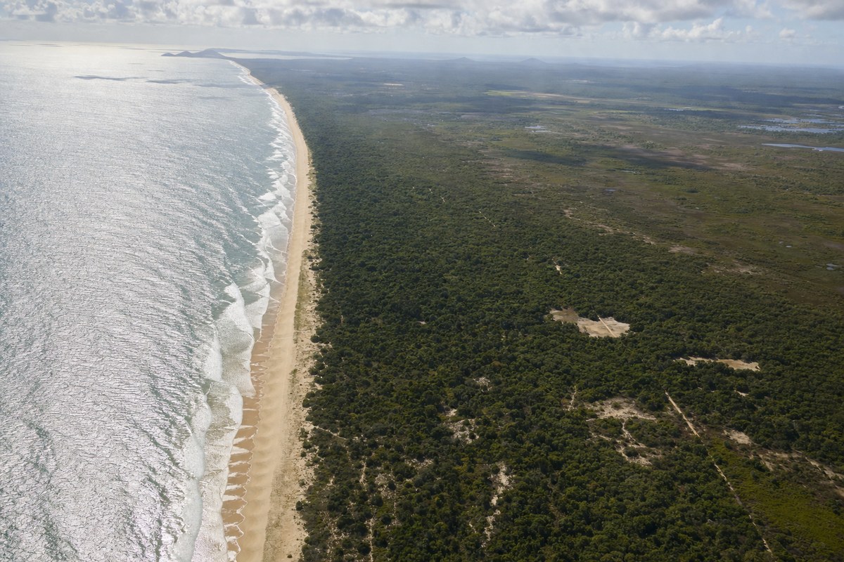
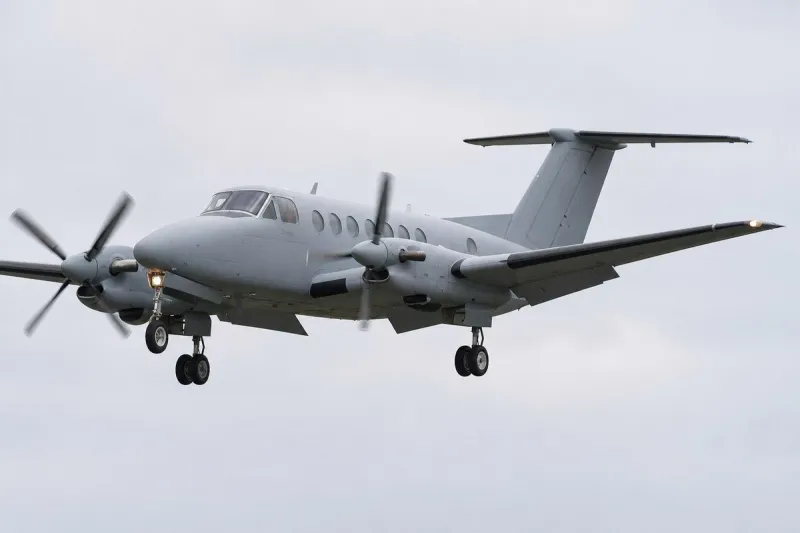
The proposed areas would replace existing Temporary Restricted Areas (TRA) known as 'SPECTRE' and 'GHOST', which currently support combat-focused military rotary wing and unmanned aircraft systems (UAS) operations between the shore and Royal Australian Navy vessels in the Cowley Beach Training Area (CBTA). Those existing TRAs use Class G airspace surrounding CBTA. The proposal flags proximity to Innisfail aerodrome (YIFL), local parachuting areas, a coastal scenic route adjacent to Cowley Beach, and the YIFL RNP RWY 32 instrument approach procedure, noting that all YIFL instrument flight procedures will be affected, with use available only after clearance from military airspace controllers.
R7xxA is designed to avoid common parachute jumping exercise areas and to facilitate access to Dunk Island, with a vertical limit allowing transits at or above 3,000 feet AMSL; aircraft tracking north or south may also avoid R7xxA by remaining west of the Bruce Highway. Transits through R7xxB are expected and may be requested through the controlling authority per procedures in the associated Aeronautical Information Publication Supplement, with expected transit levels between 3,000 and 4,000 feet AMSL. Non-military aircraft authorised to transit will be deconflicted from military activity by at least 1 nautical mile laterally or 1,000 feet vertically, with traffic information provided to all transiting aircraft. Military aircraft and airspace controllers will monitor and broadcast as necessary on designated civilian frequencies, including the common traffic advisory frequency and the aeronautical emergency frequency, when the restricted areas are active.
Industry impact & what to watch
Replacing temporary restricted areas with permanent ones is a recognisable step in how military training airspace evolves once activity becomes routine rather than occasional: a TRA that is activated repeatedly for recurring exercises eventually gets formalised into a standing restriction, giving the controlling authority certainty while requiring civilian users to permanently adjust their planning instead of checking activation notices case by case.
For general aviation and charter operators flying the north Queensland coast, this shifts routine deconfliction from a notice-driven exception to a structural fact of the route network around Cowley Beach, affecting instrument approaches into Innisfail, parachute operations, and the coastal scenic route alike. The deconfliction standards disclosed — at least 1 nautical mile laterally or 1,000 feet vertically, with transit levels specified for R7xxB — show the compromise typical of such reclassifications: access remains possible but conditional on coordination with military controllers rather than free transit.
What happens next depends on the consultation period closing 16 October 2026 and on how NAMO responds to submissions concerning YIFL's instrument procedures, parachuting areas, and the scenic route, all of which were explicitly flagged as considerations in the proposal itself.