NWS Issues Hazardous Weather Outlook for Northeast Wisconsin With Severe Thunderstorm Risk Friday
Why It MattersLocalized severe-weather risk in the Great Lakes region signals potential short-term disruption to regional flight operations and mariner activity on Lake Michigan and Green Bay waters.
The National Weather Service office in Green Bay, Wisconsin, issued a Hazardous Weather Outlook at 1:31 PM CDT on Friday, August 21, 2026, covering north-central and northeast Wisconsin. For the afternoon and evening, isolated to scattered thunderstorms were expected, especially across eastern Wisconsin between 3 PM and 9 PM, with a few severe storms possible at Level 1 of 5 on the severe weather risk scale. From Saturday through the following Thursday, a chance of thunderstorms existed on Saturday and Tuesday, though the risk of severe weather was considered low.
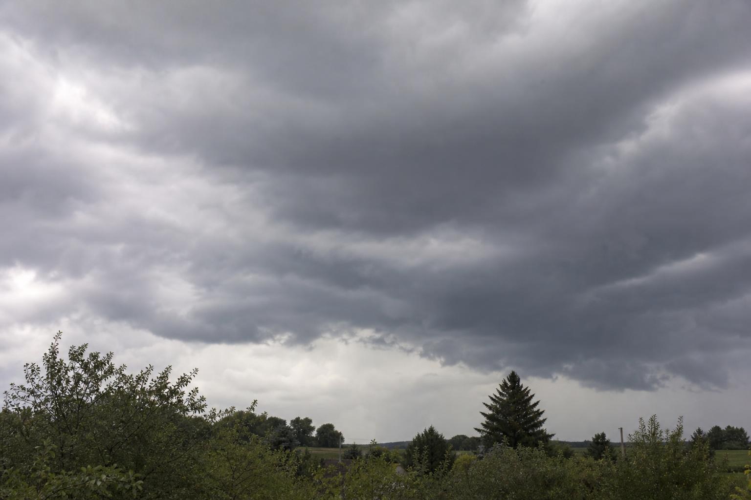
The outlook also covered portions of northwest Lake Michigan and the waters of Green Bay, where thunderstorms were possible during the afternoon and evening, posing a potential hazard to mariners, with a further chance of storms on Saturday and Tuesday. The National Weather Service asked spotters to report wind gusts exceeding 40 mph, hail, and flooding. Counties covered included Vilas, Oneida, Forest, Florence, Lincoln, Langlade, Menominee, Door, Marathon, Shawano, Wood, Portage, Waupaca, Outagamie, Brown, Kewaunee, Waushara, Winnebago, Calumet, Manitowoc, Northern and Southern Marinette County, and Northern and Southern Oconto County.