NTSB: Fatal New Mexico Air Ambulance Crash Followed GPS Jamming and Loss of Weather Data
Why It MattersThe crash shows how overlapping navigation and weather-data outages near an airport can compound risk during a night visual approach in mountainous terrain.
What happened
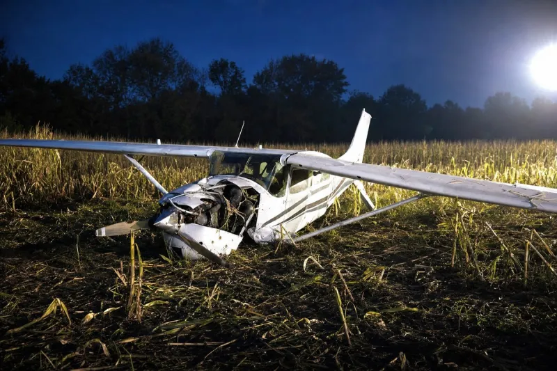
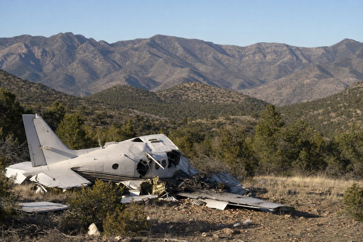
A Beechcraft C90 air ambulance operated by Generation Jets in partnership with Trans Aero MedEvac crashed near Lincoln, New Mexico, at approximately 00:15 local time on 14 May, killing both pilots and two flight nurses. The aircraft was en route from Roswell to Sierra Blanca Regional Airport in Ruidoso to collect a patient for transport to Albuquerque when it struck terrain in the Capitan Mountains at about 9,950 feet.
According to a preliminary report by the U.S. National Transportation Safety Board (NTSB), US military GPS jamming was active across the area at the time of the crash. The flight crew reported that the aircraft had lost GPS capability and subsequently requested an instrument landing system (ILS) approach after being unable to use GPS navigation. Three other aircraft in the area also reported GPS loss during the same period, indicating the disruption extended beyond the accident flight.
The crew later reported having a visual on Ruidoso and were cleared for a visual approach before the aircraft descended into terrain. The NTSB also noted that Sierra Blanca Regional Airport's automated weather observation system was out of service at the time, and no METAR or Terminal Aerodrome Forecast (TAF) was available to the crew.
Industry impact & what to watch
This accident belongs to a category investigators have flagged before: multiple, independent system failures converging on a single approach at night over mountainous terrain. GPS jamming alone forced a switch in approach type, and the loss of the field's automated weather system removed the crew's ability to cross-check conditions on the ground before the switch to a visual approach was made.
Air ambulance operations depend heavily on GPS-based navigation and timely weather data precisely because they fly into smaller, less-equipped airports like Sierra Blanca Regional on short notice and at all hours. When either layer drops out, crews fall back on ILS or visual procedures that carry different risk profiles, particularly at night near high terrain.
The investigation remains preliminary, and its findings are subject to change. What comes into sharper focus as the NTSB's final report develops will be why the visual approach was accepted after the ILS request, and whether the GPS jamming and the inoperative weather system were treated as related hazards by air traffic control at the time.